|
|
Title | Collection Number And Name | Photo Number |
| 76 |
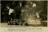 |
Escalante. Red Cross Day. Garfield County, UT. June 1918 | P0013 Herbert E. Gregory Photograph Collection | P0013n08_098_1496 |
| 77 |
 |
Escalante Canyon. Escalante Arch, natural bridge in LaPlata Sandstone. Garfield County, UT. June 1918 | P0013 Herbert E. Gregory Photograph Collection | P0013n08_103_1505 |
| 78 |
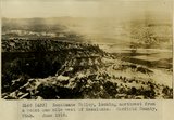 |
Escalante Valley, looking northwest from a point one mile west of Escalante. Garfield Co, UT. June 1918 | P0013 Herbert E. Gregory Photograph Collection | P0013n08_103_1506 |
| 79 |
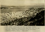 |
Escalante and head of False Creek, looking southeast from a point one mile west of the village. Kaiparowits Plateau in the distance. Garfield County, UT. June 1918 | P0013 Herbert E. Gregory Photograph Collection | P0013n08_104_1507 |
| 80 |
 |
Escalante Valley and Village, looking east across the Village from a point one mile west. Garfield County, UT. June 1918 | P0013 Herbert E. Gregory Photograph Collection | P0013n08_104_1508 |
| 81 |
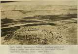 |
Escalante Valley, looking northeast from a point one mile west of Escalante Village. Garfield County, UT. June 1918 | P0013 Herbert E. Gregory Photograph Collection | P0013n08_105_1509 |
| 82 |
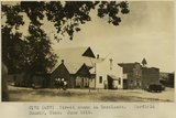 |
Street scene in Escalante. Garfield County, UT. June 1918 | P0013 Herbert E. Gregory Photograph Collection | P0013n08_105_1510 |
| 83 |
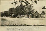 |
Street scene in Escalante. Garfield County, UT. June 1918 | P0013 Herbert E. Gregory Photograph Collection | P0013n08_106_1511 |
| 84 |
 |
Scene in Silver Falls Canyon. Kane County, UT. June 1918 | P0013 Herbert E. Gregory Photograph Collection | P0013n08_106_1512 |
| 85 |
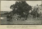 |
Camp in Dry Valley near Henrieville. Garfield County, UT. June 1918 | P0013 Herbert E. Gregory Photograph Collection | P0013n08_106_1513 |
| 86 |
 |
Escalante School House. United States Geological Survey headquarters 1918. Garfield County, UT. June 1918 | P0013 Herbert E. Gregory Photograph Collection | P0013n08_107_1514 |
| 87 |
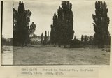 |
Street in Henrieville, Garfield County, UT. June 1918 | P0013 Herbert E. Gregory Photograph Collection | P0013n08_114_1530 |
| 88 |
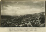 |
Escalante Monocline. Pine Creek, Garfield County, UT. June 1918 | P0013 Herbert E. Gregory Photograph Collection | P0013n08_115_1531 |
| 89 |
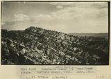 |
Escalante Monocline, beds above Navajo. June 1918 | P0013 Herbert E. Gregory Photograph Collection | P0013n08_115_1532 |
| 90 |
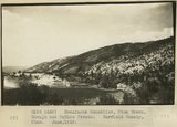 |
Escalante Monocline, Pine Creek. Navajo and McElmo Strata. Garfield County, UT. June 1918 | P0013 Herbert E. Gregory Photograph Collection | P0013n08_116_1533 |
| 91 |
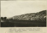 |
Escalante Monocline, Pine Creek. Navajo and McElmo Strata. Garfield County, UT. June 1918 | P0013 Herbert E. Gregory Photograph Collection | P0013n08_116_1534 |
| 92 |
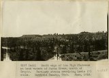 |
South edge of the High Plateaus at head waters of Paria River, north of Tropic. Tertiary strata overlying Lewis(?) shale. Garfield County, UT. June 1918 | P0013 Herbert E. Gregory Photograph Collection | P0013n08_117_1535 |
| 93 |
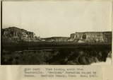 |
View looking north from Henrieville. 'Sentinel' formation capped by Dakota. Garfield County, UT. June 1918 | P0013 Herbert E. Gregory Photograph Collection | P0013n08_117_1536 |
| 94 |
 |
Escalante Valley(?) Mesa Verde strata. Garfield County, UT. June 1918 | P0013 Herbert E. Gregory Photograph Collection | P0013n08_118_1537 |
| 95 |
 |
Camp scene, 6 miles north of Henrieville on Henrieville Creek. Marion Willis, packer. Garfield County, UT. 1922 | P0013 Herbert E. Gregory Photograph Collection | P0013n08_119_1539 |
| 96 |
 |
Camp scene, 6 miles north of Henrieville on Henrieville Creek. Dewey Moore Packer, Garfield County, UT. 1922 | P0013 Herbert E. Gregory Photograph Collection | P0013n08_119_1540 |
| 97 |
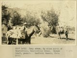 |
Camp scene, 6 miles north of Henrieville on Henrieville Creek. Samuel Graff Packer, Garfield County, UT. 1922 | P0013 Herbert E. Gregory Photograph Collection | P0013n08_120_1541 |
| 98 |
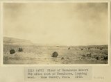 |
Floor of Escalante desert 30 miles east of Escalante, looking west. Kane County, UT. 1922 | P0013 Herbert E. Gregory Photograph Collection | P0013n08_121_1544 |
| 99 |
 |
Northeast edge of Kaiparowitz Plateau from the top. Kane County, UT. 1922 | P0013 Herbert E. Gregory Photograph Collection | P0013n08_122_1545 |
| 100 |
 |
Quaking asps, Paunsaugunt Plateau. 1922 | P0013 Herbert E. Gregory Photograph Collection | P0013n08_166_1651 |