Filters: Collection: "ucl_maps"
1 - 25 of 13
| Title | Date | Type | ||
|---|---|---|---|---|
| 1 |
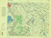 |
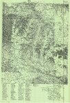
Bountiful (Planimetric) NW-12 (US DOI BLM) 1975 | 1975 | Image/StillImage |
| 2 |
 |
Bear Lake US DOI BLM 1974 | 1974 | Image/StillImage |
| 3 |
 |
Townsite of Independence - Uintah County, Utah, January 1906 | 1906 | Image/StillImage |
| 4 |
 |
Upper Bear Riiver (Planimetric) NE-3 (US DOI BLM) 1975 | 1975 | Image/StillImage |
| 5 |
 |
Oil and Gas Wells of Utah 1891-1948 | 1891; 1892; 1893; 1894; 1895; 1896; 1897; 1898; 1899; 1900; 1901; 1902; 1903; 1904; 1905; 1906; 1907; 1908; 1909; 1910; 1911; 1912; 1913; 1914; 1915; 1916; 1917; 1918; 1919; 1920; 1921; 1922; 1923; 1924; 1925; 1926; 1927; 1928; 1929; 1930; 1931; 1932; 1933; 1934; 1935; 1936; 1937; 1938; 1939; 1940; ... | Image/StillImage |
| 6 |
 |
Taylor Mountain Formations | Image/StillImage | |
| 7 |
 |
Geologic North-South Cross Profile Whiterocks Area 1957 | 1957 | Image/StillImage |
| 8 |
 |
Pioneer Trails 1825-1849 | 1825; 1826; 1827; 1828; 1829; 1830; 1931; 1832; 1833; 1834; 1835; 1836; 1837; 1838; 1839; 1840; 1841; 1842; 1843; 1844; 1845; 1846; 1847; 1848; 1849 | Image/StillImage |
| 9 |
 |
Diamond Mountain 2001 | 2001 | Image/StillImage |
| 10 |
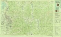 |
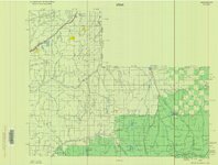
Salt Lake City, Utah-Wyoming 1980 | 1980 | Image/StillImage |
| 11 |
 |
Wildlife Through the Ages, Flaming Gorge - Uintas National Scenic Byway | Image/StillImage | |
| 12 |
 |
Dry Fork (aka Mountain Dell or Hallsville) prepared by Oral Merkley & Liz Weist | Image/StillImage | |
| 13 |
 |
Rangely, Colorado 1979 | 1979; 1987 | Image/StillImage |
1 - 25 of 13