|
|
Title | Date | Type |
| 401 |
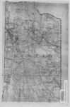 |
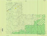
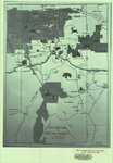
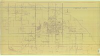
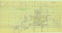
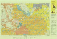
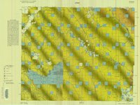
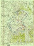
Uintah County Sectional Map | | Image/StillImage |
| 402 |
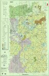 |
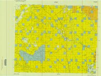
Uintah County Transportation 2014 | 2014 | Image/StillImage |
| 403 |
 |
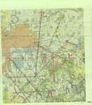
Uintah County Transportation Travel Atlas 2008 | 2008 | Image/StillImage |
| 404 |
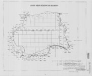 |
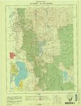
Uintah Indian Reservation Boundary | 1875; 1882; 1903; 1949 | Image/StillImage |
| 405 |
 |
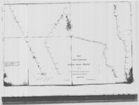
Uintah Indian Reserve, Northeast Boundary - Sept. 1875 | 1875 | Image/StillImage |
| 406 |
 |
Uintah Indian Reserve, Utah, North-East Boundary - 1875 | 1875 | Image/StillImage |
| 407 |
 |
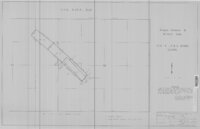
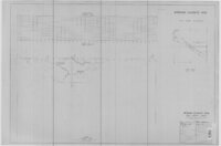
Uintah Railway Elevation Map 1930 | 1930 | Image/StillImage |
| 408 |
 |
Uintah Railway Stagecoach and Toll Road | 2003 | Image/StillImage |
| 409 |
 |
Uintah School 1906-1940 | 1906; 1907; 1908; 1909; 1910; 1911; 1912; 1913; 1914; 1915; 1916; 1917; 1918; 1919; 1920; 1921; 1922; 1923; 1924; 1925; 1926; 1927; 1928; 1929; 1930; 1931; 1932; 1933; 1934; 1935; 1936; 1937; 1938; 1939; 1940 | Image/StillImage |
| 410 |
 |
Uintah School District 1 thru 7, 1910-1917 | 1910; 1911; 1912; 1913; 1914; 1915; 1916; 1917 | Image/StillImage |
| 411 |
 |
Uintah School District 12 and 13, 1910-1917 | 1910; 1911; 1912; 1913; 1914; 1915; 1916; 1917 | Image/StillImage |
| 412 |
 |
Uintah Stake Tabernacle | 1990 | Image/StillImage |
| 413 |
 |
United States and Texas, Mexico, and Guatemala - 1839 | 1839 | Image/StillImage |
| 414 |
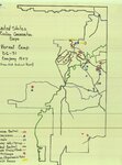 |
United States Civilian Conservation Corps - Vernal Camp - D6-31 Company 1507 | 1938 | Image/StillImage |
| 415 |
 |
United States Department of the Interior Geological Survey, Dinosaur National Monument, Colorado - Utah, 1966 | 1966 | Image/StillImage |
| 416 |
 |
United States Department of the Interior Geological Survey, Dinosaur National Monument, Colorado - Utah, 1971 | 1971 | Image/StillImage |
| 417 |
 |
Unorganized Mining District, Uinta County (7 Separate Claims) | 1922; 1923 | Image/StillImage |
| 418 |
 |
Unorganized Mining District, Uintah County (29 Separate Claims) | 1905 | Image/StillImage |
| 419 |
 |
Upper Bear Riiver (Planimetric) NE-3 (US DOI BLM) 1975 | 1975 | Image/StillImage |
| 420 |
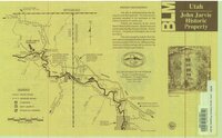 |
Utah - John Jarvie Historic Property - BLM | 1949 | Image/StillImage |
| 421 |
 |
Utah Aeronautical Chart 1970 | 1970 | Image/StillImage |
| 422 |
 |
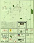
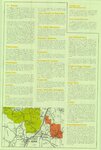
Utah County Map and Information Things to See and Do | | Image/StillImage |
| 423 |
 |
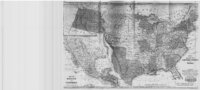
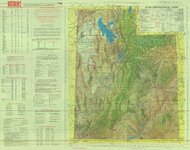
Utah Map | 1861; 1862 | Image/StillImage |
| 424 |
 |
Utah Map of State Roads - State Road Commission 1915 - 1916 | 1915; 1916 | Image/StillImage |
| 425 |
 |
Utah Story Travel Council | | Image/StillImage |
| 426 |
 |
Utah! National Park State | | Image/StillImage |
| 427 |
 |
Ute 1, 2, & 3 Mining Claims - Ziegler Chemical & Mineral Corp | 1971 | Image/StillImage |
| 428 |
 |
Vacation Map of Uintah County, Utah 1948 | 1948 | Image/StillImage |
| 429 |
 |
Vein Location of the Neal Vein - Ziegler Chemical & Mineral Corp | 1995 | Image/StillImage |
| 430 |
 |
Veritus Seismec Surveying and Positioning | | Image/StillImage |
| 431 |
 |
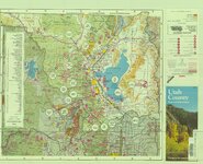
Vernal Area Map 1997 | 1997 | Image/StillImage |
| 432 |
 |
Vernal City - no date | | Image/StillImage |
| 433 |
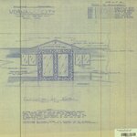 |
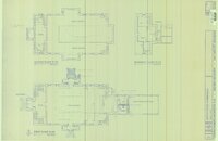
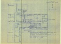
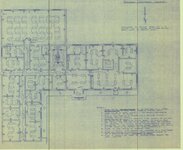
Vernal City Office Blue Prints - Sheet 1 | | Image/StillImage |
| 434 |
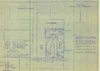 |
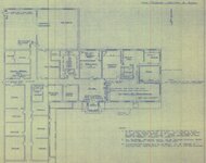
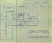
Vernal City Office Blue Prints - Sheet 2 | | Image/StillImage |
| 435 |
 |
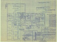
Vernal City Office Blue Prints - Sheet 3 | | Image/StillImage |
| 436 |
 |
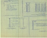
Vernal City Office Blue Prints - Sheet 4 | | Image/StillImage |
| 437 |
 |
Vernal City Office Blue Prints - Sheet 5 | | Image/StillImage |
| 438 |
 |
Vernal City Office Blue Prints - Sheet 6 | | Image/StillImage |
| 439 |
 |
Vernal City Office Blue Prints - Sheet 7 | | Image/StillImage |
| 440 |
 |
Vernal City Office Blue Prints - Sheet 8 | | Image/StillImage |
| 441 |
 |
Vernal City Office Blue Prints - Sheet 9 | | Image/StillImage |
| 442 |
 |
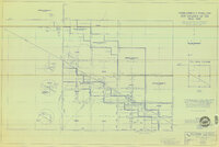
Vernal City Official Zoning Map 1990 | 1990 | Image/StillImage |
| 443 |
 |
Vernal City Reconnaissance Survey 1987 | 1987 | Image/StillImage |
| 444 |
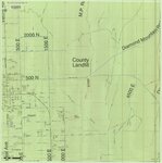 |
Vernal City Roads - Vernal Ave East to County Landfill & Diamond Mountain Road 2012 | 2012 | Image/StillImage |
| 445 |
 |
Vernal City Roads 2012 | 2012 | Image/StillImage |
| 446 |
 |
Vernal District Recreation Map, 1969 | 1969 | Image/StillImage |
| 447 |
 |
Vernal, Utah 1993 | 1993 | Image/StillImage |
| 448 |
 |
Vernal, Utah-Colorado 1980 | 1980 | Image/StillImage |
| 449 |
 |
Vernal, Utah-Colorado 1982 | 1980; 1982 | Image/StillImage |
| 450 |
 |
Wah Wah US DOI BLM 1978 | 1978 | Image/StillImage |
| 451 |
 |
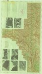
Wasatch US DOI BLM 1973 | 1973 | Image/StillImage |
| 452 |
 |
West from Fort Bridger, Pioneer Trails Across Utah 1846-1850 | 1846; 1947; 1948; 1849; 1850 | Image/StillImage |
| 453 |
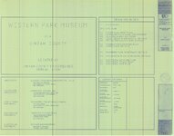 |
Western Park Museum Blue Prints 1990 | 1990 | Image/StillImage |
| 454 |
 |
Western Venture Corp Vernal Area | | Image/StillImage |
| 455 |
 |
Westwater (Planimetric) SE-4 (US DOI BLM) 1975 (revised) | 1975 | Image/StillImage |
| 456 |
 |
Westwater (Planimetric) SE-4 (US DOI BLM) 1977 | 1977 | Image/StillImage |
| 457 |
 |
Westwater, Utah-Colorado 1981 | 1980; 1981 | Image/StillImage |
| 458 |
 |
White Home | 1989 | Image/StillImage |
| 459 |
 |
Whiterocks Ashley National Forest Structural Nose 1957 | 1957 | Image/StillImage |
| 460 |
 |
Whiterocks Townsite 1967 | 1967 | Image/StillImage |
| 461 |
 |
Wildlife Through the Ages, Flaming Gorge - Uintas National Scenic Byway | | Image/StillImage |
| 462 |
 |
Windy Ridge, Utah - 1964 | 1964 | Image/StillImage |
| 463 |
 |
Woodside (Planimetric) SE-2 (US DOI BLM) 1977 | 1977 | Image/StillImage |
| 464 |
 |
Woodside (Planimetric) SE-3 (US DOI BLM) 1975 (revised) | 1975 | Image/StillImage |
| 465 |
 |
Workman Colton Home | 1989 | Image/StillImage |
| 466 |
 |
Workman Gilsonite Mine - Mesa Chemical Company | 1972 | Image/StillImage |
| 467 |
 |
Workman Ratliff Home | 1989 | Image/StillImage |
| 468 |
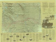 |
Wyoming Historic Trails | | Image/StillImage |
| 469 |
 |
Ziegler Chemical & Mineral Corp Claim Map | 1995 | Image/StillImage |
| 470 |
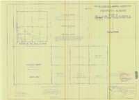 |
Ziegler Chemical & Mineral Corporation Property Survey Located In Section 15, T9S, R24E, Uintah County, Utah | 1996 | Image/StillImage |
| 471 |
 |
Ziegler Chemical Inventory Unit Mining Claims - May 21, 1999 | 1999 | Image/StillImage |
| 472 |
 |
Ziegler Chemical Inventory Unit Mining Claims - May 24, 1999 | 1999 | Image/StillImage |
| 473 |
 |
Ziegler Chemical Road Right Of Way On U.S.A. (B.L.M.) Land | 1978 | Image/StillImage |
| 474 |
 |
Zion National Park, Washington County (Brochure and Map) | | Image/StillImage |