Home
Browse
Ask Us
Chat
Harmful Language Statement
Log in
Uintah County Regional History Center Maps
Advanced Search
Year
1825
1826
1827
1828
1829
1830
1831
1832
1833
1834
1835
1836
1837
1838
1839
1840
1841
1842
1843
1844
1845
1846
1847
1848
1849
1850
1851
1852
1853
1854
1855
1856
1857
1858
1859
1860
1861
1862
1863
1864
1865
1866
1867
1868
1869
1870
1871
1872
1873
1874
1875
1876
1877
1878
1879
1880
1881
1882
1883
1884
1885
1886
1887
1888
1889
1890
1891
1892
1893
1894
1895
1896
1897
1898
1899
1900
1901
1902
1903
1904
1905
1906
1907
1908
1909
1910
1911
1912
1913
1914
1915
1916
1917
1918
1919
1920
1921
1922
1923
1924
1925
1926
1927
1928
1929
1930
1931
1932
1933
1934
1935
1936
1937
1938
1939
1940
1941
1942
1943
1944
1945
1946
1947
1948
1949
1950
1951
1952
1953
1954
1955
1956
1957
1958
1959
1960
1961
1962
1963
1964
1965
1966
1967
1968
1969
1970
1971
1972
1973
1974
1975
1976
1977
1978
1979
1980
1981
1982
1983
1984
1985
1986
1987
1988
1989
1990
1991
1992
1993
1994
1995
1996
1997
1998
1999
2000
2001
2002
2003
2004
2005
2006
2007
2008
2009
2010
2011
2012
2013
2014
TO
1825
1826
1827
1828
1829
1830
1831
1832
1833
1834
1835
1836
1837
1838
1839
1840
1841
1842
1843
1844
1845
1846
1847
1848
1849
1850
1851
1852
1853
1854
1855
1856
1857
1858
1859
1860
1861
1862
1863
1864
1865
1866
1867
1868
1869
1870
1871
1872
1873
1874
1875
1876
1877
1878
1879
1880
1881
1882
1883
1884
1885
1886
1887
1888
1889
1890
1891
1892
1893
1894
1895
1896
1897
1898
1899
1900
1901
1902
1903
1904
1905
1906
1907
1908
1909
1910
1911
1912
1913
1914
1915
1916
1917
1918
1919
1920
1921
1922
1923
1924
1925
1926
1927
1928
1929
1930
1931
1932
1933
1934
1935
1936
1937
1938
1939
1940
1941
1942
1943
1944
1945
1946
1947
1948
1949
1950
1951
1952
1953
1954
1955
1956
1957
1958
1959
1960
1961
1962
1963
1964
1965
1966
1967
1968
1969
1970
1971
1972
1973
1974
1975
1976
1977
1978
1979
1980
1981
1982
1983
1984
1985
1986
1987
1988
1989
1990
1991
1992
1993
1994
1995
1996
1997
1998
1999
2000
2001
2002
2003
2004
2005
2006
2007
2008
2009
2010
2011
2012
2013
2014
Type
Image/StillImage
474
Format
image/jpeg
329
application/pdf
145
Collection
Uintah County Regional History Center...
474
Filters:
Collection:
"ucl_maps"
76
-
100
of
474
<
1
2
3
4
5
6
7
8
9
10
>
Gallery view
Number of results to display per page
10
25
50
100
200
Sort by Relevance
Sort by Title A-Z
Sort by Title Z-A
Sort by Date Ascending
Sort by Date Descending
Sort by Last Modified Ascending
Sort by Last Modified Descending
Title
Date
Type
76
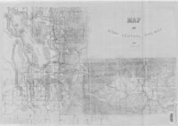
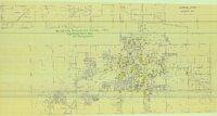
Map of Utah Central Railway - 1890
1890
Image/StillImage
77
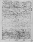
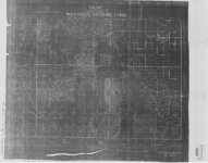
Marsh Peak Quad, Utah-Wyoming 1905-1906
1905; 1906
Image/StillImage
78
Massey Ranch and Massey Meadow - Hand Drawn
Image/StillImage
79
Moffat School House - Floor Plan 1994
1994
Image/StillImage
80
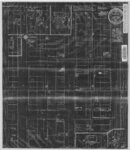
Myton, Duchesne County, Utah - Sanborn Map Company, April 1917 - Corrected July 1931
1931
Image/StillImage
81
Sanpete US DOI BLM 1978
1978
Image/StillImage
82
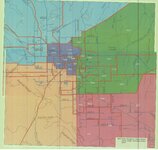
Stake Boundaries for the Glines, Maeser, Vernal, Uintah, and Ashley Stakes 2005?
2005
Image/StillImage
83
Surficial Deposits and Ingenious Rocks 1980
1980
Image/StillImage
84
Tintic US DOI BLM 1976
1976
Image/StillImage
85
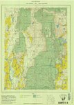
Uinta Mountains Ashley Sheet Utah Colorado 1885-1901
1885; 1886; 1887; 1888; 1889; 1890; 1991
Image/StillImage
86
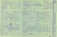
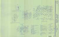
Uintah County Care Center Addition 1991 (Sheet A4.2)
1991
Image/StillImage
87
Uintah County Care Center Addition 1991 (Sheet E-3)
1991
Image/StillImage
88
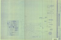
Uintah County Care Center Addition 1991 (Sheet E-4)
1991
Image/StillImage
89
Uintah County Care Center Addition 1991 (Sheet M-1)
1991
Image/StillImage
90
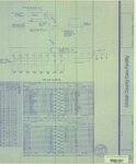
Uintah County Jail 1984 (Sheet No E5)
1983; 1984
Image/StillImage
91
Uintah County Jail 1984 (Sheet No E6)
1983; 1984
Image/StillImage
92
Uintah County Jail 1984 (Sheet No E7)
1983; 1984
Image/StillImage
93
Uintah County Jail 1984 (Sheet No E9)
1983; 1984
Image/StillImage
94
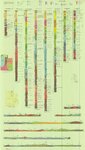
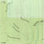
Uintah County Roads - Bean Draw, Brush Creek, Sunshine Bench Roads 2012
2012
Image/StillImage
95
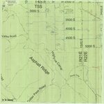
Uintah County Roads - Collier Pass, Dog Valley Roads 2012
2012
Image/StillImage
96
Utah Map of State Roads - State Road Commission 1915 - 1916
1915; 1916
Image/StillImage
97
Vernal City Reconnaissance Survey 1987
1987
Image/StillImage
98
Western Venture Corp Vernal Area
Image/StillImage
99
White Home
1989
Image/StillImage
100
Bitter Creek, NE-18, (US DOI BLM) 1975 (revised)
1975
Image/StillImage
76
-
100
of
474
<
1
2
3
4
5
6
7
8
9
10
>