Home
Browse
Ask Us
Chat
Harmful Language Statement
Log in
Uintah County Regional History Center Maps
Advanced Search
Year
1949
1950
1951
1952
1953
1954
1955
1956
1957
1958
1959
1960
1961
1962
1963
1964
1965
1966
1967
1968
1969
1970
1971
1972
1973
1974
1975
1976
1977
1978
1979
1980
1981
1982
1983
1984
1985
1986
1987
1988
1989
1990
1991
1992
1993
1994
1995
1996
1997
1998
1999
2000
2001
2002
2003
2004
TO
1949
1950
1951
1952
1953
1954
1955
1956
1957
1958
1959
1960
1961
1962
1963
1964
1965
1966
1967
1968
1969
1970
1971
1972
1973
1974
1975
1976
1977
1978
1979
1980
1981
1982
1983
1984
1985
1986
1987
1988
1989
1990
1991
1992
1993
1994
1995
1996
1997
1998
1999
2000
2001
2002
2003
2004
Type
Image/StillImage
61
Format
image/jpeg
58
application/pdf
3
Collection
Uintah County Regional History Center...
61
Filters:
Collection:
"ucl_maps"
Subject:
"BLM"
26
-
50
of
61
<
1
2
3
>
Gallery view
Number of results to display per page
10
25
50
100
200
Sort by Relevance
Sort by Title A-Z
Sort by Title Z-A
Sort by Date Ascending
Sort by Date Descending
Sort by Last Modified Ascending
Sort by Last Modified Descending
Title
Date
Type
26
Kanab US DOI BLM 1978
1978
Image/StillImage
27
Ladore (Planimetric) NW-1 (US DOI BLM) 1975
1975
Image/StillImage
28
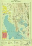
Lake Powell US DOI BLM 1976
1976
Image/StillImage
29
Maybell (Planimetric) NW-8 (US DOI BLM) 1974
1974
Image/StillImage
30
Monticello US DOI BLM 1978
1978
Image/StillImage
31
Mormon Pioneer Trail
Image/StillImage
32
Myton-Duchesne (Planimetric) NE-12 (US DOI BLM) 1977 (revised)
1977
Image/StillImage
33
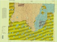
Oquirrh US DOI BLM 1977
1977
Image/StillImage
34
Ouray (Planimetric) NE-13 (US DOI BLM) 1975 (revised)
1975
Image/StillImage
35
Promontory US DOI BLM 1973
1973
Image/StillImage
36
Property Survey of the MS 5688 Hardaway & MS 5689 Harris Mining Claims - Ziegler Chemical & Mineral Corp
2000
Image/StillImage
37
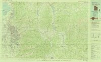
Rangely, Colorado 1979
1979; 1987
Image/StillImage
38
Roan Plateau (Pianimetric) SE-3 (US DOI BLM) 1977 (revised)
1977
Image/StillImage
39
Roan Plateau (Planimetric) SE-3 (US DOI BLM) 1975
1975
Image/StillImage
40
Salt Flats US DOI BLM 1977
1977
Image/StillImage
41
Salt Lake City, Utah-Wyoming 1980
1980
Image/StillImage
42
Sanpete US DOI BLM 1978
1978
Image/StillImage
43
Seep Ridge, Utah 1999
1999
Image/StillImage
44
Seep Ridge, Utah-Colorado 1981
1981
Image/StillImage
45
Seep Ridge, Utah-Colorado 1982
1981; 1982
Image/StillImage
46
Sunnyside (Planimetric) NE-16 (US DOI BLM) 1974
1974
Image/StillImage
47
Sunnyside (Planimetric) NE-16 (US DOI BLM) 1975 (revised)
1975
Image/StillImage
48
Tintic US DOI BLM 1976
1976
Image/StillImage
49
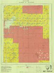
Township 10 South, Range 25 East, of the Salt Lake Meridian, Utah - Dependent ReSurvey
1980
Image/StillImage
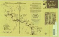
50
Utah - John Jarvie Historic Property - BLM
1949
Image/StillImage
26
-
50
of
61
<
1
2
3
>