1 - 25 of 53
Number of results to display per page
TitleDateType
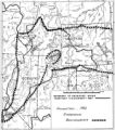
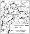
1 Boundary of Shoshone Indian Territory according to Swanton, 19521952Image/StillImage
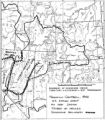
2 Map of Shoshone Indian Territory, and the Division of Shoshone Boundaries in NevadaImage/StillImage
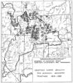
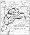
3 Boundary of Shoshone Indian Territory, showing the locations where the Bannock and Shoshone reported together 1819-19561957Image/StillImage
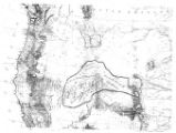
4 Map of the Homelands of Northern Shoshone, 1863Image/StillImage
5 Map of the Shoshone TribesImage/StillImage
6 Boundary of Shoshone Indian Territory1957Image/StillImage
7 Shoshone Bannock/ Northwestern Soshone Reservations Geothermal Resource Map2004-01-14Image/StillImage
8 Boundary of Shoshone Indian Territory, Linguistic Boundaries of Shoshone and Bannock.1941Image/StillImage
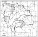
9 Map of Shoshone, Goshute, Bannock, Wind River and Panamint Indian Tribal Groups1957Image/StillImage
10 Boundary of Shoshone Indian Territory, showing the locations of the Bannock1957Image/StillImage
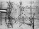
11 Map of Shoshone Territory; Prepared by Doty, 1859Image/StillImage
12 Map showing boundaries of Northern Paiute, Southern Paiute, Shoshone Bannock and UteImage/StillImage
13 Boundary of Shoshone Indian Territory, showing the locations of the Bannock from 1819 to 19511957Image/StillImage
14 Map of Western Shoshone and Northern Paiute TerritoryImage/StillImage
15 Boundary of Shoshone Indian Territory; Doty Map of 1863 Indian Claims Commission1957Image/StillImage
16 Map showing the boundary of the Shoshone Indian territory1941Image/StillImage
17 The Seasonal Movements of the Shoshone-Bannock PeoplesImage/StillImage
18 Boundary of Shoshone Indian Territory and Neighboring Tribes1957Image/StillImage
19 Page 165
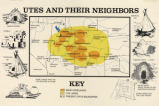
20 Map titled, "Utes and Their Neighbors"Image/StillImage
21 Indian Names in Utah Geography1928; 1929; 1930; 1931; 1932; 1933Text
22 Map of Major Historical Trails of Southern Utah
23 Page 106
24 Map of Indian Tribes of North AmericaImage/StillImage
25 Map of North America and Original Inhabitants' Territory.Image/StillImage
1 - 25 of 53