1 - 25 of 31
Number of results to display per page
TitleDateType
1 A History of the Uintah-Ouray Ute Lands1979Text
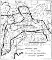
2 Boundary of Shoshone Indian Territory1957Image/StillImage
3 Boundary of Shoshone Indian Territory and Neighboring Tribes1957Image/StillImage
4 Boundary of Shoshone Indian Territory, showing the locations of the Bannock1957Image/StillImage
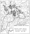
5 Boundary of Shoshone Indian Territory, showing the locations of the Bannock from 1819 to 19511957Image/StillImage
6 Boundary of Shoshone Indian Territory, showing the locations where the Bannock and Shoshone reported together 1819-19561957Image/StillImage
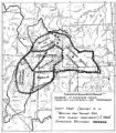
7 Boundary of Shoshone Indian Territory; Doty Map of 1863 Indian Claims Commission1957Image/StillImage
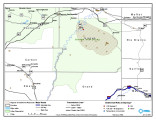
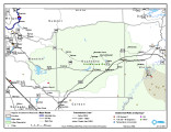
8 Goshute Skull Valley Reservation Geothermal Resources Map2004-01-14Image/StillImage
9 History of the Northern Ute People, A1982Text
10 Journal of Two Campaigns by the Utah Territorial Militia Against the Navajo Indians, 18691961Text
11 Map, [ca. 1953]1953Text
12 Notes on the History of the Southern Paiutes and Western Shoshonis1971Text
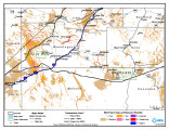
13 Paiute Reservation Geothermal Resources Map2004-01-14Image/StillImage
14 Paiute Reservation Goethermal Resources Map2004-01-14Image/StillImage
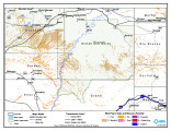
15 Pauite Reservation Wind Resource Map2004-01-14Image/StillImage
16 Pauite Reservation Wind Resource Map2004-01-14Image/StillImage
17 Problems of Navajo Male Graduates of Intermountain School During Their First Year of Employment1959Text
18 Shoshone Bannock/ Northwestern Soshone Reservations Geothermal Resource Map2004-01-14Image/StillImage
19 St. Christopher's Newsletter dated June 19731973Text
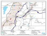
20 Uintah & Ouray Reservation Geothermal Map2004-01-13Image/StillImage
21 Uintah & Ouray Reservation Geothermal Map2004-01-13Image/StillImage
22 Uintah & Ouray Reservation Report from the U.S. Dept. of Energy2007-08-01Text
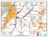
23 Uintah & Ouray Wind Resources Map2004-01-13Image/StillImage
24 Uintah & Ouray Wind Resources Map2004-01-09Image/StillImage
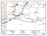
25 Uintah Basin Replacement Project March 19951995-03-10Image/StillImage
1 - 25 of 31