76 - 100 of 136
Number of results to display per page
TitleDateType
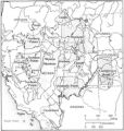
76 Map of Western Indian Territory Before 1850Image/StillImage
77 Map of Western Shoshone and Northern Paiute TerritoryImage/StillImage
78 Map showing the boundary of the Shoshone Indian territory1941Image/StillImage
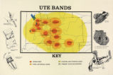
79 Map titled "Ute Bands Map"Image/StillImage
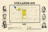
80 Map titled "Ute Lands, 1876"Image/StillImage
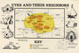
81 Map titled, "Utes and Their Neighbors"Image/StillImage
82 No Place To Pitch Their Teepees: Shoshone Adaptation To Mormon Settlers In Cache Valley, 1855-18701995Text
83 Note from James FisherText
84 Notes on the History of the Southern Paiutes and Western Shoshonis1971Text
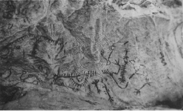
85 Pictographs in Tunnel Canyon, Nevada.Image/StillImage
86 Receipt dated Mar. 21, 1859Image/StillImage
87 Receipt of article for Ruby Valley Indian farm dated May 9, 18591859-05-09Text
88 Report on Indian Affairs by the Acting Commissioner for the Year 18671867Text
89 Restored homes; Lost City, NevadaImage/StillImage
90 Southern Ute Lands, 1848-1899; The Creation of a Reservation, March 19721972Text
91 Superintendency Bill dated May 17, 18661866-05-17Text
92 Superintendency corn creek expensesText
93 Superintendency Invoice dated 1859Text
94 Superintendency Invoice of Goods dated 1860Text
95 Superintendency List of Goods dated June 18, 18601860-06-18Text
96 Superintendency Property List dated May 24, 18661866-05-24Image/StillImage
97 Superintendency Property List dated Oct. 15, 18591859-10-15Text
98 Superintendency Property list dated Oct. 6, 18601860-06-06Text
99 Superintendency Receipt April 10, 18671869-04-10Image/StillImage
100 Superintendency Receipt dated April 23, 18671867-04-23Text
76 - 100 of 136