101 - 125 of 178
Number of results to display per page
TitleDateType
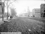
101 Street Paving - South Temple, East from 200 West1902Image
102 Street Paving - South Temple, East from Main Street1902Image
103 Street Paving - South Temple, East from Zion's Cooperative Mercantile Institution (ZCMI)1903Image
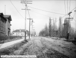
104 Street Paving - State Street1907Image
105 Street Paving - State Street, North From 800 South1907Image
106 Utah Lake - Resort Seen in Distance1910; 1906; 1907; 1908; 1909; 1911; 1912; 1913; 1914Image
107 Utah Lake Pumping Plant1908Image
108 Utah Valley - Resort1910; 1906; 1907; 1908; 1909; 1911; 1912; 1913; 1914Image
109 City Creek at North Temple1909Image
110 Fire Engine House No. 3, Police Substation1910; 1906; 1907; 1908; 1909; 1911; 1912; 1913; 1914Image
111 Liberty Park Comfort Station - Exterior1917-01-26Image
112 Main Street1910; 1906; 1907; 1908; 1909; 1911; 1912; 1913; 1914Image
113 Main Street, Looking North From 200 South1907Image
114 Main Street, North of 100 South1910; 1906; 1907; 1908; 1909; 1911; 1912; 1913; 1914Image
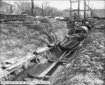
115 Oregon Short Line Depot - Under Construction1907Image
116 Parley's Canyon - Building1910; 1906; 1907; 1908; 1909; 1911; 1912; 1913; 1914Image
117 Parley's Creek Water Supply1910; 1906; 1907; 1908; 1909; 1911; 1912; 1913; 1914Image
118 Railroad Tracks - Filling Joints, East 200 South1906Image
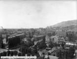
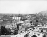
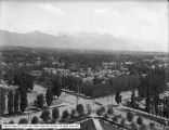
119 Salt Lake City - Panoramic View, East From City and County Building1907Image
120 Salt Lake City - Panoramic View, East From City and County Building1907Image
121 Salt Lake City - Panoramic View, East from City and County Building1907Image
122 Salt Lake City - Panoramic View, Northwest From City and County Building1902Image
123 Salt Lake City - Panoramic View, Northwest From City and County Building1908Image
124 Salt Lake City - Panoramic View, Southeast From City and County Building1902Image
125 Salt Lake City - State Street, North From North Temple, City Creek, Lafayette SchoolImage
101 - 125 of 178