TO
1 - 25 of 7
| Title | Setname | Type | ||
|---|---|---|---|---|
| 1 |
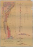 |
Geologic map and sections of the Cherry Creek District, Nevada | ir_etd | |
| 2 |
 |
Geologic map of the Torrey Quadrangle, Wayne County, Utah | ir_etd | Text |
| 3 |
 |
Geology of the Terrace and Hogup Mountains, Box Elder County, Utah (Maps) | ir_etd | Image |
| 4 |
 |
Plate 1: Geologic map of the Lothidok Range, Kenya | ir_etd | Image |
| 5 |
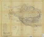 |
Subsurface stratigraphy of the Wasatch Formation of the Uinta Basin, Utah (Maps) | ir_etd | Image |
| 6 |
 |
Torrey Plate 1 | ir_etd | Text |
| 7 |
 |
Torrey Plate 2 | ir_etd | Text |
1 - 25 of 7