1 - 25 of 26
Number of results to display per page
TitleDateType
1 2010 Boundary Validation Program_001Image/StillImage
2 2010 Boundary Validation Program_002Image/StillImage
3 2010 Boundary Validation Program_003Image/StillImage
4 2010 Boundary Validation Program_004Image/StillImage
5 2010 Boundary Validation Program_005Image/StillImage
6 2010 Boundary Validation Program_006Image/StillImage
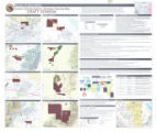
7 Areas Used by the Goshute People and Areas Potentially Impacted by Southern Nevada Water AuthorityImage/StillImage
8 Bureau of Indian AffairsImage/StillImage
9 Goshute Indian Reservation Nevada and UtahImage/StillImage
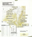
10 Goshute Reservation Water QualityImage/StillImage
11 Goshute Traditional TerritoryImage/StillImage
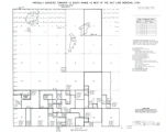
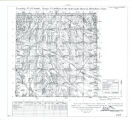
12 Partially Survayed Township 12th South, Range 19th West, Salt Lake Meridian_005Image/StillImage
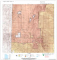
13 Reservation Boundary and General Land StatusImage/StillImage
14 State MapsImage/StillImage
15 Surface Management Responsibility_001Image/StillImage
16 Surface Management Responsibility_002Image/StillImage
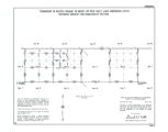
17 Township 12th South, Range 19th West, Salt Lake Meridian_001Image/StillImage
18 Township 12th South, Range 19th West, Salt Lake Meridian_002Image/StillImage
19 Township 12th South, Range 19th West, Salt Lake Meridian_003Image/StillImage
20 Township 12th South, Range 19th West, Salt Lake Meridian_004Image/StillImage
21 Township 13th South, Range 19th West, Salt Lake Meridian_001Image/StillImage
22 Township 13th South, Range 19th West, Salt Lake Meridian_002Image/StillImage
23 Township 13th South, Range 19th West, Salt Lake Meridian_003Image/StillImage
24 Township 9th South, Range 19th West, Salt Lake Meridian_001Image/StillImage
25 Township 9th South, Range 19th West, Salt Lake Meridian_002Image/StillImage
1 - 25 of 26