| Title | Date | Type | Setname | ||
|---|---|---|---|---|---|
| 1 |
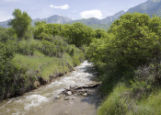 |
Creek at Dimple Dell | 2010-06-09 | Image | uu_hw_slcwd |
| 2 |
 |
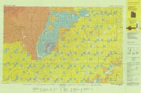
Uintah County Roads - Dry Fork, Deep Creek, Shindy Ridge Roads 2012 | 2012 | Image/StillImage | ucl_maps |
| 3 |
 |
Ashley Creek | Image | ucl_vep | |
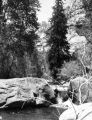
| 4 |
 |
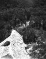
Dry Fork Canyon | Image | ucl_tp | |
| 5 |
 |
Dutch John, Utah 1997 | 1997 | Image/StillImage | ucl_maps |
| 6 |
 |
Dry Fork Canyon | Image | ucl_tp | |
| 7 |
 |
Dry Fork Canyon | Image | ucl_tp | |
| 8 |
 |
Dry Fork Canyon | Image | ucl_tp | |
| 9 |
 |
Dry Fork Canyon in the Uinta Basin near Vernal, Utah | Image | ucl_tp | |
| 10 |
 |
Dry Fork Canyon in Uintah County near Vernal, Utah | Image | ucl_tp | |
| 11 |
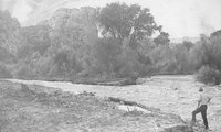 |
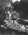
Rulon Hacking Examines Rising Creek | 1968-06-06 | Image/StillImage | ucl_vep |
| 12 |
 |
Westwater, Utah-Colorado 1981 | 1980; 1981 | Image/StillImage | ucl_maps |
| 13 |
 |
Ashley Creek Canyon | 1910; 1911; 1912; 1913; 1914; 1915; 1916; 1917; 1918; 1919; 1920 | Image/StillImage | ucl_rhc |
| 14 |
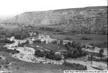 |
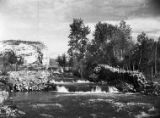
Ashley Creek Flooding in the Spring | 1968 | Image | ucl_vep |
| 15 |
 |
Dry Fork Canyon | Image | ucl_tp | |
| 16 |
 |
Ashley and Brush Creeks Dye Tests | 1978 | Image/StillImage | ucl_maps |
| 17 |
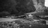 |
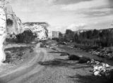
Washed Out Dry Fork Bridge | 1957-06-20 | Image | ucl_vep |
| 18 |
 |
Ashley Creek Flooding | Image | ucl_vep | |
| 19 |
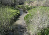
 |
Dry Creek outlet at Jordan River | 2009-05-06 | Image | uu_hw_slcwd |
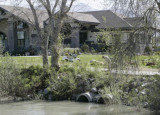
| 20 |
 |
Creek and fairway | 2009-05-06 | Image | uu_hw_slcwd |
| 21 |
 |
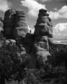
Petroglyph or Rock Art | Image | ucl_tp | |
| 22 |
 |
Dry Fork Flume | 1960; 1961; 1962; 1963; 1964; 1965; 1966; 1967; 1968; 1969; 1970 | Image/StillImage | ucl_rhc |
| 23 |
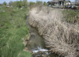 |
Creek near club house | 2009-05-06 | Image | uu_hw_slcwd |
| 24 |
 |
Geologic Map of Uintah County, Utah - North Half - 1950s | 1950; 1951; 1952; 1953; 1954; 1955; 1956; 1957; 1958; 1959 | Image/StillImage | ucl_maps |
| 25 |
 |
Dry Fork Flume | Image | ucl_tp |