| Title | Date | Type | Setname | ||
|---|---|---|---|---|---|
| 51 |
 |
Irrigation-Methods P.3 | Image | dha_cp | |
| 52 |
 |
Irrigation-Methods P.4 | Image | dha_cp | |
| 53 |
 |
Irrigation-Methods P.5 | Image | dha_cp | |
| 54 |
 |
Irrigation-Methods P.6 | Image | dha_cp | |
| 55 |
 |
Irrigation-Methods P.7 | Image | dha_cp | |
| 56 |
 |
Irrigation-Methods P.8 | Image | dha_cp | |
| 57 |
 |
Irrigation-Methods P.9 | Image | dha_cp | |
| 58 |
 |
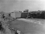
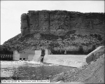
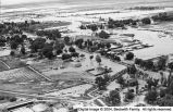
Jordan River p. 13 | 1925 | Image/StillImage | dha_cp |
| 59 |
 |
Map of Dry Gulch Irrigation District, Uintah Indian Reservation, Utah | Image/StillImage | uaida_main | |
| 60 |
 |
Map of the Northern Part of the Former Uintah Indian Reservation Showing the Irrigation System | Image/StillImage | uaida_main | |
| 61 |
 |
Map of Uintah Irrigation Project June 1926 Myton, Utah | Image/StillImage | uaida_main | |
| 62 |
 |
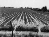
Price Irrigated Land | 1910-05 | Image | dha_scp |
| 63 |
 |
Price Irrigated Land | 1910-05 | Image | dha_scp |
| 64 |
 |
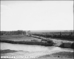
Sevier River flood of 1983, vicinity of Delta, Utah [202] | 1983-06-23 | Image | dc_bpc |
| 65 |
 |
Wasatch view | 1910; 1911; 1912; 1913; 1914; 1915; 1916; 1917; 1918; 1919; 1920; 1921; 1922; 1923; 1924; 1925; 1926; 1927; 1928; 1929; 1930; 1931; 1932; 1933; 1934; 1935; 1936; 1937; 1938; 1939; 1940 | Image/StillImage | dha_gmo |
| 66 |
 |
Water Pipes | 1942 | Image/StillImage | dha_kued_trc |
| 67 |
 |
Woods Cross, Utah | Image | dha_cp | |
| 68 |
 |
Woods Cross, Utah | Image | dha_cp | |
| 69 |
 |
Woods Cross, Utah | Image | dha_cp | |
| 70 |
 |
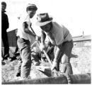
Working on Water Lines | 1942 | Image/StillImage | dha_kued_trc |