| Title | Date | Type | Setname | ||
|---|---|---|---|---|---|
| 201 |
 | Miscellaneous Schools p.5 | 1904 | Image | dha_cp |
| 202 |
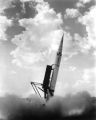 | Missile Industry-Sperry Utah Sergeant P.6 | Image | dha_cp | |
| 203 |
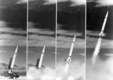 | Missile Industry-Sperry Utah Sergeant P.8 | Image | dha_cp | |
| 204 |
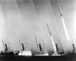 | Missile Industry-Sperry Utah Sergeant P.9 | Image | dha_cp | |
| 205 |
 | Monchiquite dike, looking south from Needle Peak, NM. Shaler, photo | 1890; 1891; 1892; 1893; 1894; 1895; 1896; 1897; 1898; 1899; 1900; 1901; 1902; 1903; 1904; 1905 | Image | uum_map |
| 206 |
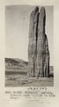
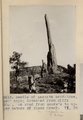
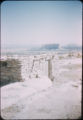
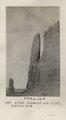 | Monument and cliff, Todilto Park (Photo G384) | 1913 | Image | uum_map |
| 207 |
 | Monument, LaPlata, Todilto Park (III-20 is like this) (Photo G383) | 1913 | Image | uum_map |
| 208 |
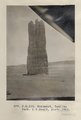 | Monument, Todilto Park. K.C.Heald, photo. 1913 (Photo N-M133) | 1913 | Image | uum_map |
| 209 |
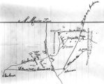
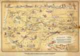 | Mormon Trail map | 1947 | Image/StillImage | uum_tawp |
| 210 |
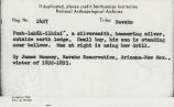 | Navajo Book 1b: Photo Description | 1892; 1893 | Image/StillImage | uaida_main |
| 211 |
 | Navajo Indians at Shiprock | 1915 | Image | uum_map |
| 212 |
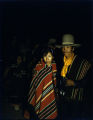 | Navajo man and woman at ceremonial dance | 1930; 1931; 1932; 1933; 1934; 1935; 1936; 1937; 1938; 1939; 1940; 1941; 1942; 1943; 1944; 1945; 1946; 1947; 1948; 1949; 1950 | Image/StillImage | uaida_main |
| 213 |
 | Navajo man and woman shearing sheep [1] | 1930; 1931; 1932; 1933; 1934; 1935; 1936; 1937; 1938; 1939; 1940; 1941; 1942; 1943; 1944; 1945; 1946; 1947; 1948; 1949; 1950 | Image/StillImage | uaida_main |
| 214 |
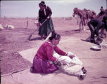 | Navajo man and woman shearing sheep [2] | 1930; 1931; 1932; 1933; 1934; 1935; 1936; 1937; 1938; 1939; 1940; 1941; 1942; 1943; 1944; 1945; 1946; 1947; 1948; 1949; 1950 | Image/StillImage | uaida_main |
| 215 |
 | Needle of LaPlata sandstone, 150' high; detached from cliff 300'. On road from Moore's to upper waters of Black Creek. VI, 38 (Photo G213) | 1911 | Image | uum_map |
| 216 |
 | Needle Peak (Shiprock) looking north 68° west from a distance of 1 1/2 mi. south of Shiprock, NM. Shaler, photo | 1890; 1891; 1892; 1893; 1894; 1895; 1896; 1897; 1898; 1899; 1900; 1901; 1902; 1903; 1904; 1905 | Image | uum_map |
| 217 |
 | New Mexico | Image | uum_map | |
| 218 |
 | New Mexico P.1 | Image | dha_cp | |
| 219 |
 | New Mexico desert | 1941; 1942; 1943; 1944; 1945; 1946; 1947 | Image | uum_map |
| 220 |
 | New Mexico desert | 1941; 1942; 1943; 1944; 1945; 1946; 1947 | Image | uum_map |
| 221 |
 | Nick Cohee [01] | 2010-02 | Image/StillImage | uum_map_usa |
| 222 |
 | Nick Cohee [02] | 2010-02 | Image/StillImage | uum_map_usa |
| 223 |
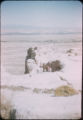
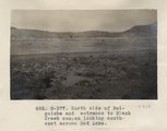 | North side of Baigaiche and entrance to Black Creek canyon looking southeast across Red Lake (Photo G377) | 1913 | Image | uum_map |
| 224 |
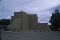 | Northern New Mexico, Fall 2003 [01] | 2003 | Image/StillImage | uum_map_rr |
| 225 |
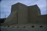 | Northern New Mexico, Fall 2003 [02] | 2003 | Image/StillImage | uum_map_rr |