| Title | Date | Type | Setname | ||
|---|---|---|---|---|---|
| 26 |  | Alpine ski team member [32] | 2007-02-09; 2007-02-10; 2008-02-08 | Image/StillImage | uum_map_usa |
| 27 |  | Alpine ski team member [33] | 2007-02-09; 2007-02-10; 2008-02-08 | Image/StillImage | uum_map_usa |
| 28 |  | Alpine ski team member [34] | 2007-02-09; 2007-02-10; 2008-02-08 | Image/StillImage | uum_map_usa |
| 29 |  | Alpine ski team member [35] | 2007-02-09; 2007-02-10; 2008-02-08 | Image/StillImage | uum_map_usa |
| 30 |  | Alpine ski team member [36] | 2007-02-09; 2007-02-10; 2008-02-08 | Image/StillImage | uum_map_usa |
| 31 |  | Alpine ski team member [37] | 2007-02-09; 2007-02-10; 2008-02-08 | Image/StillImage | uum_map_usa |
| 32 |  | Alpine ski team member [38] | 2007-02-09; 2007-02-10; 2008-02-08 | Image/StillImage | uum_map_usa |
| 33 |  | Alpine ski team member [39] | 2007-02-09; 2007-02-10; 2008-02-08 | Image/StillImage | uum_map_usa |
| 34 |  | Alpine ski team member [40] | 2007-02-09; 2007-02-10; 2008-02-08 | Image/StillImage | uum_map_usa |
| 35 |  | Alpine ski team members [11] | 2007-02-09; 2007-02-10; 2008-02-08 | Image/StillImage | uum_map_usa |
| 36 |  | Alpine ski team members [12] | 2007-02-09; 2007-02-10; 2008-02-08 | Image/StillImage | uum_map_usa |
| 37 |  | Alpine ski team members [13] | 2007-02-09; 2007-02-10; 2008-02-08 | Image/StillImage | uum_map_usa |
| 38 | 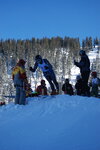 | Alpine ski team members [14] | 2007-02-09; 2007-02-10; 2008-02-08 | Image/StillImage | uum_map_usa |
| 39 |  | Alpine ski team members [15] | 2007-02-09; 2007-02-10; 2008-02-08 | Image/StillImage | uum_map_usa |
| 40 | 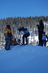 | Alpine ski team members [16] | 2007-02-09; 2007-02-10; 2008-02-08 | Image/StillImage | uum_map_usa |
| 41 |  | Alpine ski team members [17] | 2007-02-09; 2007-02-10; 2008-02-08 | Image/StillImage | uum_map_usa |
| 42 | 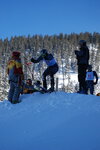 | Alpine ski team members [18] | 2007-02-09; 2007-02-10; 2008-02-08 | Image/StillImage | uum_map_usa |
| 43 |  | Alpine ski team members [19] | 2007-02-09; 2007-02-10; 2008-02-08 | Image/StillImage | uum_map_usa |
| 44 |  | Alpine ski team members [20] | 2007-02-09; 2007-02-10; 2008-02-08 | Image/StillImage | uum_map_usa |
| 45 |  | Alpine ski team members [21] | 2007-02-09; 2007-02-10; 2008-02-08 | Image/StillImage | uum_map_usa |
| 46 | 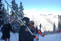 | Alpine ski team members [23] | 2007-02-09; 2007-02-10; 2008-02-08 | Image/StillImage | uum_map_usa |
| 47 |  | Alpine ski team members [24] | 2007-02-09; 2007-02-10; 2008-02-08 | Image/StillImage | uum_map_usa |
| 48 |  | Alpine ski team members [30] | 2007-02-09; 2007-02-10; 2008-02-08 | Image/StillImage | uum_map_usa |
| 49 | 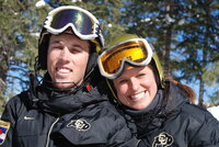 | Alpine ski team members [31] | 2007-02-09; 2007-02-10; 2008-02-08 | Image/StillImage | uum_map_usa |
| 50 | 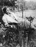 | Ann Bassett Willis | 1923; 1924; 1925; 1926; 1927; 1928; 1929; 1930; 1931; 1932; 1933; 1934; 1935; 1936; 1937; 1938; 1939; 1940; 1941; 1942; 1943; 1944; 1945; 1946; 1947; 1948; 1949; 1950; 1951; 1952; 1953; 1954; 1955; 1956 | Image/StillImage | ucl_rhc |