126 - 150 of 305
Number of results to display per page
TitleDateType
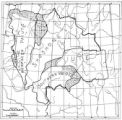
126 Map of Ute Reservation in Western Colorado, and Lands Ceded Over Time1882Image/StillImage
127 Map of Ute Territory by BandImage/StillImage
128 Map of Ute Territory in Utah and Colorado by Band Name and LocationImage/StillImage
129 Map showing boundaries of Northern Paiute, Southern Paiute, Shoshone Bannock and UteImage/StillImage
130 Map showing the boundary of the Shoshone Indian territory1941Image/StillImage
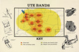
131 Map titled "Ute Bands Map"Image/StillImage
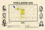
132 Map titled "Ute Lands, 1876"Image/StillImage
133 Map titled, "Northern Ute Lands, 1905"Image/StillImage
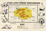
134 Map titled, "Utes and Their Neighbors"Image/StillImage
135 Members of the Bluff City ClubImage/StillImage
136 Men and Women in Bear DanceImage/StillImage
137 Men's and Women's lines facing each otherImage/StillImage
138 Monte gambling at Ouray - Summer 19091909Image/StillImage
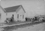
139 No. 1 Bluff, UtahImage/StillImage
140 Norman Dodd, White Rocks - Summer 19091909Image/StillImage
141 Oho Blanco, William Berry, Tap uch, Capt. Jack, Tim JohnsonImage/StillImage
142 Person in front of large wooden frame1909Image/StillImage
143 Photograph entitled Irene CesspoochImage/StillImage
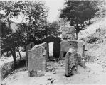
144 Ruins of Ouray's house [P0462n01_11_17.tif]Image/StillImage
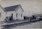
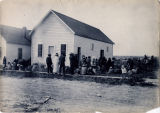
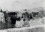
145 Scene at White Rocks on ration day showing baby carriers Summer '09Image/StillImage
146 Scene at White Rocks, ration day - Summer 1909 [I]1909Image/StillImage
147 Scene at White Rocks, ration day - Summer 1909 [II]1909Image/StillImage
148 Scene at White Rocks, ration day - Summer 1909 [III]1909Image/StillImage
149 Scene at White Rocks, ration day - Summer 1909 [IV]1909Image/StillImage
150 Scene at White Rocks, ration day, Summer '09Image/StillImage
126 - 150 of 305