Home
Browse
Ask Us
Chat
Harmful Language Statement
Log in
Uintah County Regional History Center Maps
Advanced Search
Year
1880
1881
1882
1883
1884
1885
1886
1887
1888
1889
1890
1891
1892
1893
1894
1895
1896
1897
1898
1899
1900
1901
1902
1903
1904
1905
1906
1907
1908
1909
1910
1911
1912
1913
1914
1915
1916
1917
1918
1919
1920
1921
1922
1923
1924
1925
1926
1927
1928
1929
1930
1931
1932
1933
1934
1935
1936
1937
1938
1939
1940
1941
1942
1943
1944
1945
1946
1947
1948
1949
1950
1951
1952
1953
1954
1955
1956
1957
1958
1959
1960
1961
1962
1963
1964
1965
1966
1967
1968
1969
1970
1971
1972
1973
1974
1975
1976
1977
1978
1979
1980
1981
1982
1983
1984
1985
1986
1987
TO
1880
1881
1882
1883
1884
1885
1886
1887
1888
1889
1890
1891
1892
1893
1894
1895
1896
1897
1898
1899
1900
1901
1902
1903
1904
1905
1906
1907
1908
1909
1910
1911
1912
1913
1914
1915
1916
1917
1918
1919
1920
1921
1922
1923
1924
1925
1926
1927
1928
1929
1930
1931
1932
1933
1934
1935
1936
1937
1938
1939
1940
1941
1942
1943
1944
1945
1946
1947
1948
1949
1950
1951
1952
1953
1954
1955
1956
1957
1958
1959
1960
1961
1962
1963
1964
1965
1966
1967
1968
1969
1970
1971
1972
1973
1974
1975
1976
1977
1978
1979
1980
1981
1982
1983
1984
1985
1986
1987
Type
Image/StillImage
16
Format
image/jpeg
16
Collection
Uintah County Regional History Center...
16
Filters:
Format:
"image/jpeg"
Collection:
"ucl_maps"
1
-
25
of
16
Gallery view
Number of results to display per page
10
25
50
100
200
Sort by Relevance
Sort by Title A-Z
Sort by Title Z-A
Sort by Date Ascending
Sort by Date Descending
Sort by Last Modified Ascending
Sort by Last Modified Descending
Title
Date
Type
1
Salt Lake City, Utah-Wyoming 1980
1980
Image/StillImage
2
Ashley Valley Survey, T5S R20E SLM, 1880s
1880
Image/StillImage
3
Utah Story Travel Council
Image/StillImage
4
The Denver Northwestern and Pacific Railway, Moffat Road and Projected Lines 1911
1911
Image/StillImage
5
A Guide To Temple Square
Image/StillImage
6
Ashley Survey Positive Sanborn 1880
1880
Image/StillImage
7
Wasatch US DOI BLM 1973
1973
Image/StillImage
8
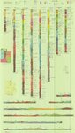
Map 37 - Simple Bouguer Gravity Anomaly Map of Utah
1975
Image/StillImage
9
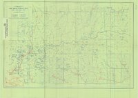
Recreation Map - Ashley National Forest - Utah and Wyoming 1955
1955
Image/StillImage
10
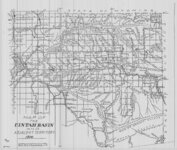
Uintah Basin and Adjacent Territory 1914
1914
Image/StillImage
11
High Uintas Primitive Area - Ashley and Wasatch National Forests, Utah 1958
1958
Image/StillImage
12
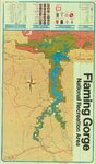
Flaming Gorge National Recreation Area
1987
Image/StillImage
13
Surficial Deposits and Ingenious Rocks 1980
1980
Image/StillImage
14
Western Venture Corp Vernal Area
Image/StillImage
15
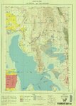
Promontory US DOI BLM 1973
1973
Image/StillImage
16
Northeastern Utah - Sectional, Multipurpose Map #3 of 5
1975
Image/StillImage
1
-
25
of
16