76 - 100 of 98
Number of results to display per page
TitleDateType
76 State MapsImage/StillImage
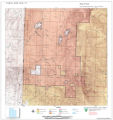
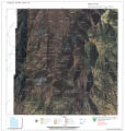
77 Surface Management Responsibility_001Image/StillImage
78 Surface Management Responsibility_002Image/StillImage
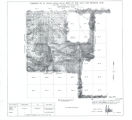
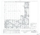
79 Township 12th South, Range 19th West, Salt Lake Meridian_001Image/StillImage
80 Township 12th South, Range 19th West, Salt Lake Meridian_002Image/StillImage
81 Township 12th South, Range 19th West, Salt Lake Meridian_003Image/StillImage
82 Township 12th South, Range 19th West, Salt Lake Meridian_004Image/StillImage
83 Township 13th South, Range 19th West, Salt Lake Meridian_001Image/StillImage
84 Township 13th South, Range 19th West, Salt Lake Meridian_002Image/StillImage
85 Township 13th South, Range 19th West, Salt Lake Meridian_003Image/StillImage
86 Township 9th South, Range 19th West, Salt Lake Meridian_001Image/StillImage
87 Township 9th South, Range 19th West, Salt Lake Meridian_002Image/StillImage
88 Township 9th South, Range 19th West, Salt Lake Meridian_003Image/StillImage
89 Uinta Indian Reservation Utah, under act of March 3, 1905 and President's Proclamation dated July 14, 1905Image/StillImage
90 Uintah Basin Replacement Project March 19951995-03-10Image/StillImage
91 Uintah Indian Reservation and the Three Band Divisions 1903.1903Image/StillImage
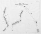
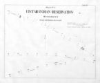
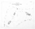
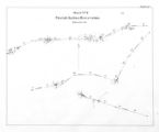
92 Uintah Indian Reservation Boundaries Sheet Number 4Image/StillImage
93 Uintah Indian Reservation Boundaries; Sheet Number 1Image/StillImage
94 Uintah Indian Reservation Boundaries; Sheet Number 2Image/StillImage
95 Uintah Indian Reservation Boundaries; Sheet Number 3Image/StillImage
96 Uintah Indian Reservation Boundaries; Sheet Number 5Image/StillImage
97 Ute Indians: Before and after White Contact1966Text
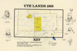
98 Ute Lands, 1868Image/StillImage
76 - 100 of 98