51 - 75 of 98
Number of results to display per page
TitleDateType
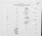
51 Map of Uncompahgre Ute Indian Reservation Boundaries, Sheet Number 2, 1889Image/StillImage
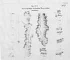
52 Map of Uncompahgre Ute Indian Reservation Boundaries, Sheet Number 3, 1889Image/StillImage
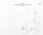
53 Map of Uncompahgre Ute Indian Reservation Boundaries, Sheet Number 4, 1889Image/StillImage
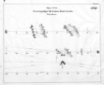
54 Map of Uncompahgre Ute Indian Reservation Boundaries, Sheet Number 5, 1889Image/StillImage
55 Map of Uncompahgre Ute Indian Reservation Boundaries, Sheet Number 6, 1889Image/StillImage
56 Map of Uncompahgre Ute Indian Reservation Boundaries, Sheet Number 7, 1889Image/StillImage
57 Map of Uncompahgre Ute Indian Reservation Boundaries, Sheet Number 8, 1889Image/StillImage
58 Map of Uncompahgre Ute reservation, Includes parcel divisionsImage/StillImage
59 Map of Ute Reservation in Western Colorado, and Lands Ceded Over Time1882Image/StillImage
60 Map of Ute Territory by BandImage/StillImage
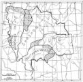
61 Map of Ute Territory in Utah and Colorado by Band Name and LocationImage/StillImage
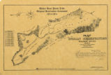
62 Map of Walker River Paiute Tribe Original Reservation Centennial 1874-19741874Image/StillImage
63 Map of Western Indian Territory Before 1850Image/StillImage
64 Map of Western Shoshone and Northern Paiute TerritoryImage/StillImage
65 Map showing boundaries of Northern Paiute, Southern Paiute, Shoshone Bannock and UteImage/StillImage
66 Map showing the boundary of the Shoshone Indian territory1941Image/StillImage
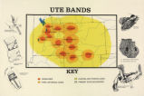
67 Map titled "Ute Bands Map"Image/StillImage
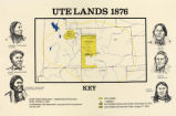
68 Map titled "Ute Lands, 1876"Image/StillImage
69 Map titled, "Northern Ute Lands, 1905"Image/StillImage
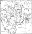
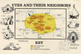
70 Map titled, "Utes and Their Neighbors"Image/StillImage
71 Notes on the History of the Southern Paiutes and Western Shoshonis1971Text
72 Partially Survayed Township 12th South, Range 19th West, Salt Lake Meridian_005Image/StillImage
73 Reservation Boundary and General Land StatusImage/StillImage
74 The Seasonal Movements of the Shoshone-Bannock PeoplesImage/StillImage
75 Sketch of Uintah Ouray Agencies.Image/StillImage
51 - 75 of 98