1 - 25 of 21
Number of results to display per page
TitleDateType
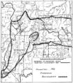
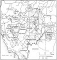
1 Boundary of Shoshone Indian Territory according to Swanton, 19521952Image/StillImage
2 Boundary of Shoshone Indian Territory, Linguistic Boundaries of Shoshone and Bannock.1941Image/StillImage
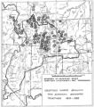
3 Boundary of Shoshone Indian Territory, showing the locations of the Bannock1957Image/StillImage
4 Boundary of Shoshone Indian Territory, showing the locations of the Bannock from 1819 to 19511957Image/StillImage
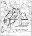
5 Boundary of Shoshone Indian Territory, showing the locations where the Bannock and Shoshone reported together 1819-19561957Image/StillImage
6 Boundary of Shoshone Indian Territory; Doty Map of 1863 Indian Claims Commission1957Image/StillImage
7 Chief Washakie1888; 1889; 1890; 1891; 1892Image/StillImage
8 Chief Washakie seated in front of a tepee1885Image/StillImage
9 Indian Sketches from the Journals of T. D. Brown and Jacob Hamblin1869Image/StillImage
10 Map of Indian Reservation in the West, 1929Image/StillImage
11 Map of Northern Utah, Early SettlementsImage/StillImage
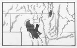
12 Map of Shoshone, Goshute, Bannock, Wind River and Panamint Indian Tribal Groups1957Image/StillImage
13 Map of Western Indian Territory Before 1850Image/StillImage
14 Map showing the boundary of the Shoshone Indian territory1941Image/StillImage
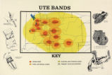
15 Map titled "Ute Bands Map"Image/StillImage
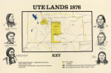
16 Map titled "Ute Lands, 1876"Image/StillImage
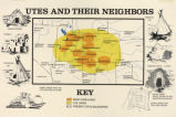
17 Map titled, "Utes and Their Neighbors"Image/StillImage
18 Oiti - Second Chief (Shoshone)1883; 1884; 1885; 1886; 1887Image/StillImage
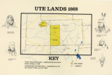
19 Ute Lands, 1868Image/StillImage
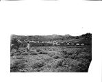
20 Washakie and his band of warriors encamped in the Wind River Mountains, Wyoming, 18701870Image/StillImage
21 Washakie's band and encampment in southern foothills of Wind River Mountains, Wyoming, 18701870Image/StillImage
1 - 25 of 21