Home
Browse
Ask Us
Chat
Harmful Language Statement
Log in
Photo Archives
Advanced Search
About
Over 70,000 photos covering a variety of topics from Marriott Library Special Collections
Year
1959
1960
1961
1962
1963
1964
1965
1966
1967
1968
1969
1970
1971
1972
1973
1974
TO
1959
1960
1961
1962
1963
1964
1965
1966
1967
1968
1969
1970
1971
1972
1973
1974
Type
Image
176
Format
image/jpeg
176
Collection
Photo Archives
176
Filters:
Collection Name:
"John Stockert"
26
-
50
of
176
<
1
2
3
4
5
6
7
8
>
Gallery view
Number of results to display per page
10
25
50
100
200
Sort by Relevance
Sort by Title A-Z
Sort by Title Z-A
Sort by Date Ascending
Sort by Date Descending
Sort by Last Modified Ascending
Sort by Last Modified Descending
Title
Date
Type
26
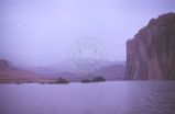
Looking down Lake Powell to half-gone cottonwood trees
1963-04
Image
27
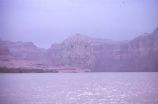
Trees on buried sandbar, Lake Powell
1963-04
Image
28
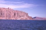
Where we met the rising Lake Powell
1963-04-24
Image
29
Utah State Capitol building
1959; 1960
Image
30
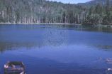
Posey Lake near Escalante, Utah
1963-06-27
Image
31
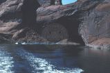
Gregory Natural Bridge during lake rise [2]
1965-09-21
Image
32
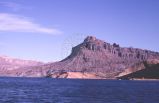
Glen Canyon during lake rise: talus slide escarpment
1965-09-21
Image
33
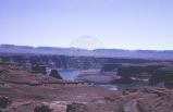
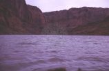
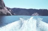
Lake Powell from above Hites Ferry
1965-09-21
Image
34
Glen Canyon during lake rise: the Rincon
1965-09-21
Image
35
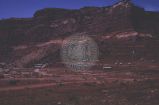
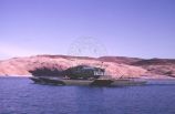
Hite concession at side of Lake Powell
1965-09-21
Image
36
Moqui ruins along old river course
1965-09-21
Image
37
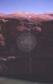
Pictographs in Moqui Canyon
1965-09-21
Image
38
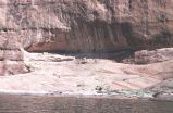
Ruin in Moqui Canyon [1]
1965-09-21
Image
39
Ruin in Moqui Canyon [2]
1965-09-21
Image
40
Approaching Hole-in-the-Rock from down lake
1963-04-26
Image
41
Glen Canyon during lake rise: along Escalante River course
1965-09-21
Image
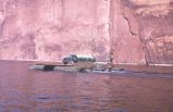
42
Glen Canyon during lake rise: Barge transporting gas truck to the Rincon oil well [1]
1965-09-21
Image
43
Glen Canyon during lake rise: Barge transporting gas truck to the Rincon oil well [2]
1965-09-21
Image
44
Glen Canyon during lake rise: lower Escalante River
1965-09-21
Image
45
Glen Canyon during lake rise: natural arch forming
1965-09-21
Image
46
Glen Canyon during lake rise: sand bank that is no more
1965-09-21
Image
47
Glen Canyon during lake rise: wildcat oil well near the Rincon
1965-09-21
Image
48
Glen Canyon, foot markers up to 3,260 at Kane Creek
1963-03-14
Image
49
Glen Canyon, looking up the Colorado at Kane Creek
1963-03-14
Image
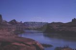
50
Glen Canyon, rising Lake Powell at Crossing of the Fathers
1963-03-14
Image
26
-
50
of
176
<
1
2
3
4
5
6
7
8
>