26 - 50 of 139
Number of results to display per page
TitleDateType
26 Byers Canyon - Easing down a bad stretch in Byers Canyon1933Image
27 Byers Canyon - Hard, fast water in Byers Canyon1933Image
28 Byers Canyon - Lining boat around falls in Byers Canyon.1933Image
29 Byers Canyon - The worst stretch in Byers Canyon. Lined about 80 yards, ran rest.1933Image
30 Byers Canyon - Upper Falls in Byers Canyon1933Image
31 Cataract Canyon1933Image
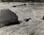
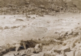
32 Cataract Canyon - [rapid in Cataract Canyon]1933Image
33 Cataract Canyon - [rapid in Cataract Canyon]1933Image
34 Cataract Canyon - A nasty spot in Cataract Canyon. Many rocks exposed because of low water.1933Image
35 Cataract Canyon - A nest of boulders blocking the current in the depths of Cataract Canyon, Utah.1933Image
36 Cataract Canyon - Below a fast stretch of water in Cataract Canyon, Utah. The pinnacles topping the 1500-foot wall show what this region was called the Land of Standing Rocks by the Ute Indians.1933Image
37 Cataract Canyon - Cataract Canyon-worst place that I ran, a couple of miles above where I wrecked. Ran down tongue of rapids.1933Image
38 Cataract Canyon - High waves in Cataract Canyon. Water blurred altho I shot this at 1/100th of a second.1933Image
39 Cataract Canyon - White water in the heart of Cataract Canyon, Utah. This shot was taken a few hours before I lost my boat.1933Image
40 Cataract Canyon-205 miles above Lee's Ferry1933Image
41 Cisco pump house1933Image
42 The Colorado at the Grand Lake outlet1933Image
43 The Colorado River above Granby1933Image
44 Colorado River at left, Grand Lake outlet at right1933Image
45 Cottonwoods above Westwater1933Image
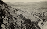
46 Downstream view from the lower end of Gore Canyon. Blacktail Canyon on skyline at left1933Image
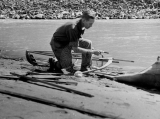
47 Emergency repairs below Glenwood Springs1933Image
48 Glenwood Canyon1933Image
49 Glenwood Canyon - "Rob Roy" dismantled for repairs 6 mi. below Glenwood Sp[rings] after smashing bow frame in rapids.1933Image
50 Glenwood Canyon - [Leaving Glenwood Springs]1933Image
26 - 50 of 139