|
|
Title | Date | Type |
| 51 |
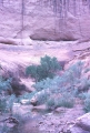 |
Moqui Canyon site, 300 foot creek to site | 1962-05 | Image |
| 52 |
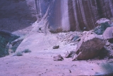 |
Moqui Canyon site, May 30 & 31, 1962 | 1962-05 | Image |
| 53 |
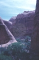 |
Moqui Canyon, view from site | 1962-05 | Image |
| 54 |
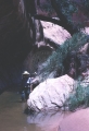 |
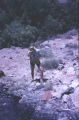
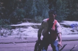
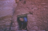
Moqui Canyon, wading | 1962-05 | Image |
| 55 |
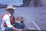 |
Norviel Eyrich | 1962-05 | Image |
| 56 |
 |
Oil Seep Bar, Carroll (found uranium ore here) | 1962-06 | Image |
| 57 |
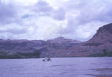 |
On the river | 1962-05-27 | Image |
| 58 |
 |
On the river | 1962-05-27 | Image |
| 59 |
 |
Ronnie Fennell | 1962-06 | Image |
| 60 |
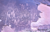 |
Smith Fork Petroglyphs - Anasazi (1100-1200) | 1962-05 | Image |
| 61 |
 |
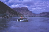
Stanton Dredge | 1962-05 | Image |
| 62 |
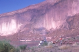 |
Tapestry Wall, May 28, 1962, mile number 136.5 | 1962-05-28 | Image |
| 63 |
 |
Wasp House, Gene Foster | 1962-06-01 | Image |
| 64 |
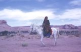 |
Kayenta, Indian woman on horse | 1962-05-26 | Image |
| 65 |
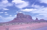 |
Monument Valley | 1962-05-26 | Image |
| 66 |
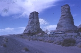 |
Elephant's Feet, Route 64 and 1, Arizona, May 26, 1962 | 1962-05-26 | Image |
| 67 |
 |
Goose necks of San Juan river, outside Mexican Hat, Utah | 1962-05-26 | Image |
| 68 |
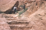 |
Hole-in-the-rock steps | 1962-06 | Image |
| 69 |
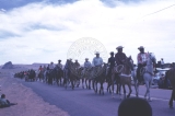 |
Kayenta parade celebrating completion of Route 1 | 1962-05-26 | Image |
| 70 |
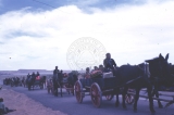 |
Kayenta, Indian wagons | 1962-05-26 | Image |
| 71 |
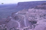 |
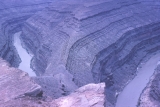
Switchback on Route 261, Utah | 1962-05-26 | Image |
| 72 |
 |
Warm Springs | 1962-05 | Image |
| 73 |
 |
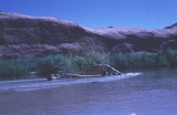
Bullfrog rapids, May 31, 1962, mile number 119 | 1962-05-31 | Image |
| 74 |
 |
Coming out of Moqui, smoke from cooking breakfast | 1962-05 | Image |
| 75 |
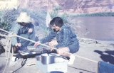 |
Cooking breakfast ahead of California Bar, May 29, 1962, mile number 132 | 1962-05-29 | Image |