Over 70,000 photos covering a variety of topics from Marriott Library Special Collections
TO
| Title | Setname | Type | ||
|---|---|---|---|---|
| 26 |
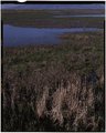 |
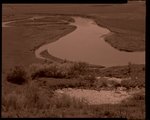
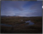
Bear River Migratory Bird Refuge, view southwest from east dike | uum_map | |
| 27 |
 |
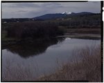
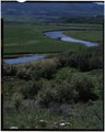
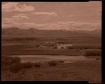
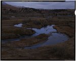
Washakie Reservoir | uum_map | |
| 28 |
 |
Washakie Reservoir [negative] | uum_map | |
| 29 |
 |
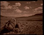
Sherman Peak | uum_map | |
| 30 |
 |
Mound Valley | uum_map | |
| 31 |
 |
Mound Valley [negative] | uum_map | |
| 32 |
 |
Mound Valley | uum_map | |
| 33 |
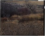 |
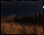
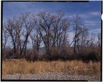
Mail Route Road: fall vegetation [1] | uum_map | |
| 34 |
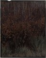 |
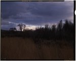
Mail Route Road: fall vegetation [2] | uum_map | |
| 35 |
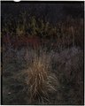 |
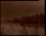
Mail Route Road: fall vegetation [3] | uum_map | |
| 36 |
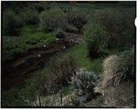 |
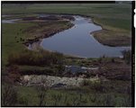
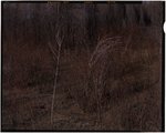
Beaver dam, Stouffer Creek | uum_map | |
| 37 |
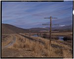 |
Pescadero Road, railroad and utility lines | uum_map | |
| 38 |
 |
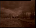
Manson RR bridge [negative] | uum_map | |
| 39 |
 |
Massacre site | uum_map | |
| 40 |
 |
Massacre site | uum_map | |
| 41 |
 |
Stewart Dam [negative] | uum_map | |
| 42 |
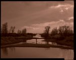 |
Rainbow Canal [negative] | uum_map | |
| 43 |
 |
Dingle Bottoms [1] | uum_map | |
| 44 |
 |
Dingle Bottoms [2] | uum_map | |
| 45 |
 |
Dingle Bottoms [3] | uum_map | |
| 46 |
 |
Dingle Bottoms [4] | uum_map | |
| 47 |
 |
Dingle Bottoms [5] | uum_map | |
| 48 |
 |
Dingle Bottoms [6] | uum_map | |
| 49 |
 |
Dingle Bottoms [7] | uum_map | |
| 50 |
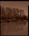 |
Dingle Bottoms [8] | uum_map |