Home
Browse
Ask Us
Chat
Harmful Language Statement
Log in
Photo Archives
Advanced Search
About
Over 70,000 photos covering a variety of topics from Marriott Library Special Collections
Year
1915
1916
1917
1918
1919
1920
1921
1922
1923
1924
1925
TO
1915
1916
1917
1918
1919
1920
1921
1922
1923
1924
1925
Type
Image
70
Format
image/jpeg
69
application/pdf
1
Collection
Photo Archives
70
Filters:
Collection Name:
"Herbert E. Gregory"
Spatial Coverage:
"California"
Type:
"Image"
1
-
25
of
70
<
1
2
3
>
Gallery view
Number of results to display per page
10
25
50
100
200
Sort by Relevance
Sort by Title A-Z
Sort by Title Z-A
Sort by Date Ascending
Sort by Date Descending
Sort by Last Modified Ascending
Sort by Last Modified Descending
Title
Date
Type
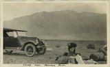
1
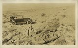
Camp near Mormon Point
1925
Image
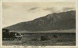
2
Camp near Mormon Point
1925
Image
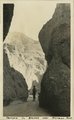
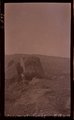
3
Canyon in gravels near Mormon Point
1925
Image
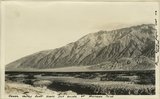
4
Consolidated wash materials in canyon east side Death Valley near Mormon Point
1925
Image
5
Death Valley
1925
Image
6
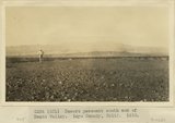
Death Valley fault scarp just south of Mormon Point
1925
Image
7
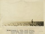
Death Valley, California. Salt floor 9 miles south of Furnace Creek Ranch
1924
Image
8
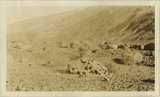
Desert pavement south end of Death Valley. Dr. Levi Noble standing. Inyo County, CA. 1922
1922
Image
9
Desert pavement south end of Death Valley. Inyo County, CA. 1922
1922
Image
10
Desert pavement south end of Death Valley. Inyo County, CA. 1922
1922
Image
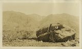
11
Desert weathering Panamint Valley
Image
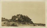
12
Desert weathering Panamint Valley
1925
Image
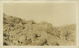
13
Desert weathering Panamint Valley
1925
Image
14
Desert weathering Panamint Valley
1925
Image
15
Desert weathering Panamint Valley
1925
Image
16
Desert weathering Panamint Valley
1925
Image
17
Desert weathering Panamint Valley
1925
Image
18
Desert weathering Panamint Valley
1925
Image
19
Desert weathering Panamint Valley
1925
Image
20
Desert weathering Panamint Valley, 10 miles south of Ballarat
1925
Image
21
Desert weathering Panamint Valley, along fault in fan
1925
Image
22
Dissected fan. Funeral Range, Death Valley, Inyo County, CA. 1922
1922
Image
23
East side Death Valley near Mormon Point
1925
Image
24
East side Death Valley near Mormon Point
1925
Image
25
Epsomite deposits associated with Tertiary lake beds 4 miles south of Wingate Wash
1924
Image
1
-
25
of
70
<
1
2
3
>