1 - 25 of 17
Number of results to display per page
TitleDateFile Number
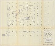
1 Gas Hills north, southwest Sec. 31 project, Fremont Co., Wyoming: location of ore rolls1971-021513_052A_001_002
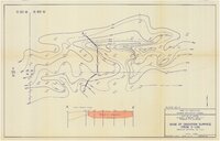
2 Gas Hills north, buried syncline project, Fremont Co., Wyoming: Base of oxidation surface from E-log1971-021513_052A_001_003
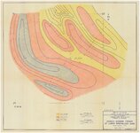
3 Gas Hills north, Thompson Ranch sec. 6 project, Fremont Co., Wyoming: isopach showing trends of lower mineralized sand1971-021513_052A_001_004
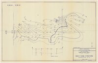
4 Gas Hills north, buried syncline project, Fremont Co., Wyoming: Base R sand structure1971-021513_052A_001_005
5 Gas Hills north, southwest Sec. 31 project, Fremont Co., Wyoming: Calculated ore1971-021513_052A_001_006
6 Gas Hills north, Fremont & Natrona Co., Wyoming: Location map1971-021513_052A_001_007
7 North Gas Hills, Miles Ranch, Fremont Co., Wyoming : Bore hole 1230 C21974-06-271513_052A_004_001
8 Moneta area, Fremont Co., Wyoming : Bore hole 13-88C21974-06-251513_052A_004_002
9 North Gas Hills, Miles Ranch, Fremont Co., Wyoming : Bore hole 703 C21974-06-231513_052A_004_003
10 Moneta area, Fremont Co., Wyoming : Bore hole 703-C1974-06-251513_052A_004_004
11 Moneta area, Fremont Co., Wyoming : Bore hole 500-C1974-06-251513_052A_004_005
12 North Gas Hills, Miles Ranch, Fremont Co., Wyoming : hole no. M-M-41974-06-281513_052A_004_006
13 Miles Ranch, north Gas Hills, drill hole no. M&M-31974-08-201513_052A_004_007
14 Miles Ranch, north Gas Hills, drill hole no. M&M-21974-08-201513_052A_004_008
15 Miles Ranch, north Gas Hills, drill hole no. M&M-11974-08-211513_052A_004_009
16 Miles Ranch, base map #3 overlay1976-011513_052A_008_001
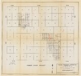
17 Powder River Project: Federal Resources Corporation property map: Cat claims and Bob claims1973-121513_052A_012_001
1 - 25 of 17