Filters: Spatial Coverage:"New Mexico"
| Title | Date | Type | Setname | ||
|---|---|---|---|---|---|
| 76 |  | Boeing B-29 Superfortress (Enola Gay) P.5 | Image | dha_cp | |
| 77 |  | Bulletin of the Geological and Geographical Survey of The Territories, Volume II | 1876 | Text | uaida_main |
| 78 |  | By Path and Trail | 1908 | Text | uaida_main |
| 79 |  | Cambridge Ditch men | 1880; 1881; 1882; 1883; 1884; 1885; 1886; 1887; 1888; 1889; 1890; 1891; 1892; 1893; 1894; 1895; 1896; 1897; 1899; 1900; 1901; 1902; 1903; 1904; 1905; 1906; 1907; 1908; 1909; 1910 | Image/StillImage | uaida_main |
| 80 |  | Camp and Indian pasture, Da-dat-soe. East terrace of Choiskai Mt., NM. 1911 | 1911 | Image | uum_map |
| 81 |  | Camp at base of Baigaiche Mt. VI, 45. 1911 (Photo N-M113) | 1911 | Image | uum_map |
| 82 |  | Carson, Christopher (Kit)-Gravestone P.1 | Image | dha_cp | |
| 83 |  | Carson, Josephine-Grave P.1 | Image | dha_cp | |
| 84 | 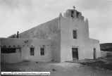 | Catholic Churches p.1 | 1930; 1931; 1932; 1933; 1934; 1935; 1936; 1937; 1938; 1939 | Image | dha_cp |
| 85 | 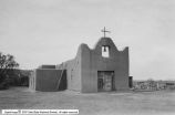 | Catholic Churches p.2 | 1930; 1931; 1932; 1933; 1934; 1935; 1936; 1937; 1938; 1939 | Image | dha_cp |
| 86 | 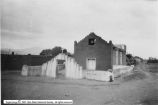 | Catholic Churches p.3 | 1930; 1931; 1932; 1933; 1934; 1935; 1936; 1937; 1938; 1939 | Image | dha_cp |
| 87 | 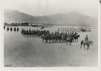 | Cavalry in formation at Columbus, N.M., after Villa invasion | 1916 | Image | uum_map |
| 88 |  | The Changing Navajo Reservation | 1882; 1868; 1880; 1882; 1884; 1892; 1900; 1901; 1905; 1914; 1915; 1918; 1930; 1931; 1933; 1934 | Text | uaida_main |
| 89 |  | Charles Bent | Image | dha_cp | |
| 90 |  | Chemistry and age of ground water in the southwestern Hueco Bolson, New Mexico and Texas | 2003 | Text | wwdl_er |
| 91 | 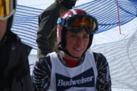 | Chirine Njeim [01] | 2007-02-09; 2007-02-10; 2008-02-08 | Image/StillImage | uum_map_usa |
| 92 |  | Chirine Njeim [02] | 2007-02-09; 2007-02-10; 2008-02-08 | Image/StillImage | uum_map_usa |
| 93 |  | Chirine Njeim, Hermann Lager | 2007-02-09; 2007-02-10; 2008-02-08 | Image/StillImage | uum_map_usa |
| 94 | 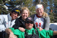 | Chirine Njeim, Mikaela Grassl, Peter Shaffer, Unknown (most right is unknown) | 2007-02-09; 2007-02-10; 2008-02-08 | Image/StillImage | uum_map_usa |
| 95 |  | Chirine Njeim, Mikaela Grassl, Unknown | 2007-02-09; 2007-02-10; 2008-02-08 | Image/StillImage | uum_map_usa |
| 96 | 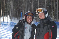 | Chirine Njeim, Thomas Zumbrunn | 2007-02-09; 2007-02-10; 2008-02-08 | Image/StillImage | uum_map_usa |
| 97 |  | Church of Jesus Christ of Latter Day Saints Journal History dated November 5, 1870 | 1870-11-05 | Image/StillImage | uaida_main |
| 98 |  | Classification of hydrogeologic areas and hydrogeologic flow systems in the basin and range physiographic province, southwestern United States | 2002 | Text | wwdl_er |
| 99 |  | Cleopatra's Needle, Todilto Park, New Mexico | 1950; 1951; 1952; 1953; 1954; 1955; 1956; 1957; 1958; 1959; 1960; 1961; 1962; 1963; 1964; 1965; 1966; 1967; 1968; 1969; 1970; 1971; 1972; 1973; 1974; 1975; 1976; 1977; 1978; 1979; 1980 | Image | uum_map |
| 100 |  | Cliff of volcanic ash 1 1/2 miles west of Cottonwood Pass, NM. VI, 35. 1911 (Photo N-M112) | 1911 | Image | uum_map |
