Home
Browse
Ask Us
Chat
Harmful Language Statement
Log in
Advanced Search
Year
1873
1874
1875
1876
1877
1878
1879
1880
1881
1882
1883
1884
1885
1886
1887
1888
1889
1890
1891
1892
1893
1894
1895
1896
1897
1898
1899
1900
1901
1902
1903
1904
1905
1906
1907
1908
1909
1910
1911
1912
1913
1914
1915
1916
1917
1918
1919
1920
1921
1922
1923
1924
1925
1926
1927
1928
1929
1930
1931
1932
1933
1934
1935
1936
1937
1938
1939
1940
1941
1942
1943
1944
1945
1946
1947
1948
1949
1950
1951
1952
1953
1954
1955
1956
1957
1958
1959
1960
1961
1962
1963
1964
1965
1966
1967
1968
1969
1970
1971
1972
1973
1974
1975
1976
1977
1978
1979
1980
1981
1982
1983
1984
1985
1986
1987
1988
1989
1990
1991
1992
1993
1994
1995
1996
1997
1998
1999
2000
2001
2002
TO
1873
1874
1875
1876
1877
1878
1879
1880
1881
1882
1883
1884
1885
1886
1887
1888
1889
1890
1891
1892
1893
1894
1895
1896
1897
1898
1899
1900
1901
1902
1903
1904
1905
1906
1907
1908
1909
1910
1911
1912
1913
1914
1915
1916
1917
1918
1919
1920
1921
1922
1923
1924
1925
1926
1927
1928
1929
1930
1931
1932
1933
1934
1935
1936
1937
1938
1939
1940
1941
1942
1943
1944
1945
1946
1947
1948
1949
1950
1951
1952
1953
1954
1955
1956
1957
1958
1959
1960
1961
1962
1963
1964
1965
1966
1967
1968
1969
1970
1971
1972
1973
1974
1975
1976
1977
1978
1979
1980
1981
1982
1983
1984
1985
1986
1987
1988
1989
1990
1991
1992
1993
1994
1995
1996
1997
1998
1999
2000
2001
2002
Type
Image
269
Image/StillImage
140
Text
5
Format
image/jpeg
413
Collection
Art and Art History
169
Beckwith Photograph Collection
8
Classified Photographs
62
Clifton Bray Film Negatives
10
Extractions from the Land: Mining and...
2
Olympic Legacy
5
Peoples of Utah Revisited
1
Photo Archives
12
Salt Lake Tribune Negative Collection
14
Shipler Collection Negative Preservat...
18
Shipler Commercial Photographers
6
Ski and Snow Sports Archives
1
UAIDA Main Collection
98
Vernal Express Photographs
2
Westminster College Photographs
5
More
Filters:
Format:
"image/jpeg"
Subject:
"Maps"
326
-
350
of
413
<
8
9
10
11
12
13
14
15
16
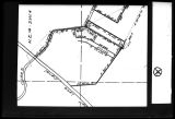
17
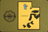
>
Gallery view
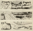
Number of results to display per page
10
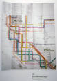
25
50
100
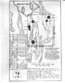
200
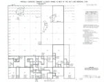
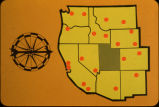
Sort by Relevance
Sort by Title A-Z
Sort by Title Z-A
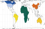
Sort by Date Ascending
Sort by Date Descending
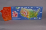
Sort by Last Modified Ascending
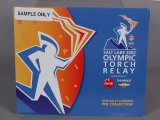
Sort by Last Modified Descending
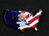
Title
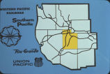
Date
Type
Setname
326
Mercur, Utah P.1
Image
dha_cp
327
Military Installations, Utah P.1
Image
dha_cp
328
Mining Map of Big & Little Cottonwood P.1
Image
dha_cp
329
Mormon Battalion Map P.1
Image
dha_cp
330
MX Missile meetings [12]
1981
Image
dc_bpc
331
N.A. Dunyon, Copy of Section of Map
1923-03-03
Image/StillImage
dha_scnpp
332
Naval Supply Depot, Clearfield P.20
1950; 1951; 1952; 1953; 1954; 1955; 1956; 1957; 1958; 1959; 1960; 1961; 1962; 1963
Image/StillImage
dha_cp
333
Naval Supply Depot, Clearfield P.21
1962
Image/StillImage
dha_cp
334
New Hydrographic and Geographic Map of Brazil, containing the Provinces of Ciriji, with Itapuama in Paranambuca, Itamaraca, Paraiba, and Potigi to the Rio Grande
Image
uu_aah_art
335
New World Map
Image
uu_aah_art
336
New York Metropolitan Transit Authority Subway Guide
Image
uu_aah_art
337
Notes on the History of the Southern Paiutes and Western Shoshonis
1971
Text
uaida_main
338
Novus Orbis sive America
Image
uu_aah_art
339
Old Map
1952-03-10
Image
dha_scp
340
Ophir Mono Mines Co., Murray Godbe, Copy of Drawing (Map of Principal Mining District of Utah)
1930-03-21
Image/StillImage
dha_scnpp
341
Ophir Mono Mines, Map
1930-10-13
Image/StillImage
dha_scnpp
342
Partially Survayed Township 12th South, Range 19th West, Salt Lake Meridian_005
Image/StillImage
uaida_main
343
Peters Projection Map of the World
Image
uu_aah_art
344
PEUP
1949
Image
dc_bpc
345
PIN SET, OLYMPIC TORCH RELAY PIN FOLDER
1997
Image
dha_olyleg
346
PIN SET, OLYMPIC TORCH RELAY PIN FOLDER
1997
Image
dha_olyleg
347
PIN, UNITED STATES OF AMERICA
2002
Image
dha_olyleg
348
Pro-Utah, Inc. Photograph Collection
Image
uum_map
349
Pro-Utah, Inc. Photograph Collection
Image
uum_map
350
Pro-Utah, Inc. Photograph Collection
Image
uum_map
326
-
350
of
413
<
8
9
10
11
12
13
14
15
16
17
>