Filters: Date: "1950" Collection: "ucl_maps"
1 - 25 of 7
| Title | Date | Type | ||
|---|---|---|---|---|
| 1 |
 |
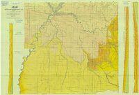
Geologic Map of Uintah County, Utah - North Half - 1950s | 1950; 1951; 1952; 1953; 1954; 1955; 1956; 1957; 1958; 1959 | Image/StillImage |
| 2 |
 |
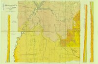
Geologic Map of Uintah County, Utah - South Half - 1950s | 1950; 1951; 1952; 1953; 1954; 1955; 1956; 1957; 1958; 1959 | Image/StillImage |
| 3 |
 |
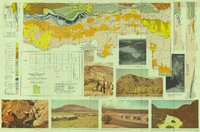
Geological Map of Uintah County, Utah - North Half - 1950s | 1950; 1951; 1952; 1953; 1954; 1955; 1956; 1957; 1958; 1959 | Image/StillImage |
| 4 |
 |
Geological Map of Uintah County, Utah - South Half - 1950s | 1950; 1951; 1952; 1953; 1954; 1955; 1956; 1957; 1958; 1959 | Image/StillImage |
| 5 |
 |
Index To Geologic Atlas of Utah - Daggett County - 1950s | 1950; 1951; 1952; 1953; 1954; 1955; 1956; 1957; 1958; 1959 | Image/StillImage |
| 6 |
 |
Map of a Reconnoissance between Fort Leavenworth on the Missouri River, and the Great Salt Lake in the Territory of Utah | 1949; 1950 | Image/StillImage |
| 7 |
 |
Uintah County R.S. 2477 Road Map | 1880; 1881; 1882; 1883; 1884; 1885; 1886; 1887; 1888; 1889; 1890; 1891; 1892; 1893; 1894; 1895; 1896; 1897; 1898; 1899; 1900; 1901; 1902; 1903; 1904; 1905; 1906; 1907; 1908; 1909; 1910; 1911; 1912; 1913; 1914; 1915; 1916; 1917; 1918; 1919; 1920; 1921; 1922; 1923; 1924; 1925; 1926; 1927; 1928; 1929; ... | Image/StillImage |
1 - 25 of 7
