|
|
Title | Date | Type | Setname |
| 126 |
 |
Subsurface stratigraphy of the Wasatch Formation of the Uinta Basin, Utah (Google Earth map overlay KMZ file) | 1963-05 | Image | ir_etd |
| 127 |
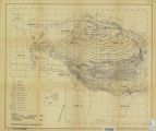 |
Subsurface stratigraphy of the Wasatch Formation of the Uinta Basin, Utah (Maps) | 1963-05 | Image | ir_etd |
| 128 |
 |
Subsurface stratigraphy of the Wasatch Formation of the Uinta Basin, Utah: Georeferenced map files | 1963-05 | Image | ir_etd |
| 129 |
 |
Trudy Anderson portraits - shots 1 and 2, 1963 | 1963-05 | | pc_hsm |
| 130 |
 |
Trudy Anderson portraits - shots 3 and 4, 1963 | 1963-05 | | pc_hsm |
| 131 |
 |
Utah Congress Board of Managers, Pre-Convention May, 1963 | 1963-05 | Image/StillImage | uum_map |
| 132 |
 |
Utah Jaycees Convention | 1963-05 | Image | ucl_tp |
| 133 |
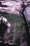 |
View from ruins, Yampa River, May 1963 | 1963-05 | Image/StillImage | uum_map_rr |
| 134 |
 |
Whirlpool Canyon, Green River, May 1963 [02] | 1963-05 | Image/StillImage | uum_map_rr |
| 135 |
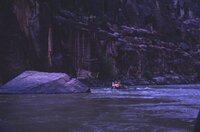 |
Whirlpool Canyon, Green River, May 1963 [03] | 1963-05 | Image/StillImage | uum_map_rr |
| 136 |
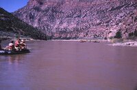 |
Whirlpool Canyon, Green River, May 1963 [04] | 1963-05 | Image/StillImage | uum_map_rr |
| 137 |
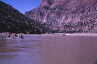 |
Whirlpool Canyon, Green River, May 1963 [05] | 1963-05 | Image/StillImage | uum_map_rr |
| 138 |
 |
Yampa River, Shank Homestead, May 1963 [01] | 1963-05 | Image/StillImage | uum_map_rr |
| 139 |
 |
Yampa River, Shank Homestead, May 1963 [02] | 1963-05 | Image/StillImage | uum_map_rr |
| 140 |
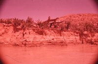 |
Yampa River, Shank Homestead, May 1963 [03] | 1963-05 | Image/StillImage | uum_map_rr |
| 141 |
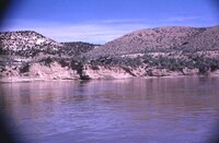 |
Yampa River, Shank Homestead, May 1963 [04] | 1963-05 | Image/StillImage | uum_map_rr |
| 142 |
 |
Yampa River, Shank Homestead, May 1963 [05] | 1963-05 | Image/StillImage | uum_map_rr |
| 143 |
 |
Yampa River, Shank Homestead, May 1963 [06] | 1963-05 | Image/StillImage | uum_map_rr |