| Title | Date | Type | Setname | ||
|---|---|---|---|---|---|
| 1 |
 |
Capitol Wash, Wayne County | 1936-11-13 | Image/StillImage | dha_scnpp |
| 2 |
 |
Capitol Wash, Wayne County | 1936-11-13 | Image/StillImage | dha_scnpp |
| 3 |
 |
Capitol Wash, Wayne County | 1927-08-13 | Image/StillImage | dha_scnpp |
| 4 |
 |
Capitol Wash, Wayne County | 1927-08-13 | Image/StillImage | dha_scnpp |
| 5 |
 |
Capitol Wash, Wayne County | 1927-08-13 | Image/StillImage | dha_scnpp |
| 6 |
 |
Capitol Wash, Wayne County | 1927-08-13 | Image/StillImage | dha_scnpp |
| 7 |
 |
Capitol Wash, Wayne County | 1927-08-13 | Image/StillImage | dha_scnpp |
| 8 |
 |
Capitol Wash, Wayne County | 1927-08-31 | Image/StillImage | dha_scnpp |
| 9 |
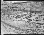 |
Capitol Wash, Wayne County, Wind Erosion | 1927-08-13 | Image/StillImage | dha_scnpp |
| 10 |
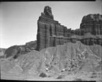 |
Chimney Rock, Wayne Co. | 1927-08-13 | Image/StillImage | dha_scnpp |
| 11 |
 |
Chinle and Wingate, Fremont River near Fruita, Wayne County, Utah, 1937. | 1937 | Image | uum_map |
| 12 |
 |
Freemont Canyon | 1937 | Image | uum_map |
| 13 |
 |
Freemont Canyon just above Fruita, 1937. | 1937 | Image | uum_map |
| 14 |
 |
Fremont River Canyon | 1937 | Image | uum_map |
| 15 |
 |
Fremont River canyon west of Fruita (Moenkopi strata), Wayne County, Utah, 1937. | 1937 | Image | uum_map |
| 16 |
 |
Grand Wash | 1936-11-14 | Image/StillImage | dha_scnpp |
| 17 |
 |
Grand Wash | 1936-11-14 | Image/StillImage | dha_scnpp |
| 18 |
 |
Grand Wash | 1936-11-14 | Image/StillImage | dha_scnpp |
| 19 |
 |
Grand Wash | 1936-11-14 | Image/StillImage | dha_scnpp |
| 20 |
 |
Grand Wash | 1936-11-14 | Image/StillImage | dha_scnpp |
| 21 |
 |
Grand Wash | 1936-11-14 | Image/StillImage | dha_scnpp |
| 22 |
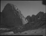 |
Grand Wash | 1936-11-14 | Image/StillImage | dha_scnpp |
| 23 |
 |
Grand Wash | 1936-11-14 | Image/StillImage | dha_scnpp |
| 24 |
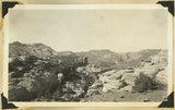 |
Looking up Fremont River canyon west of Fruita, Miners Mesa in middle distance, Wayne County, Utah, 1937. | 1937 | Image | uum_map |
| 25 |
 |
National (Natural) Bridge, Bridge Canyon 3 miles northeast of Fruita, Wayne County, Utah, 1937. | 1937 | Image | uum_map |
