Curriculum-based images for use in teaching, research, and learning.
1 - 25 of 2
| Title | Creator | Creation Date | ||
|---|---|---|---|---|
| 1 |
 |
Map: Flemish / Dutch Lowlands, 1585 - 1700 | ||
| 2 |
 |
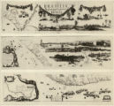
New Hydrographic and Geographic Map of Brazil, containing the Provinces of Ciriji, with Itapuama in Paranambuca, Itamaraca, Paraiba, and Potigi to the Rio Grande | Georg Marcgraf; Johan Blaeu (engraver) | 1643 CE |
1 - 25 of 2
