1 - 25 of 73
Number of results to display per page
TitleDateType
1 Areas Used by the Goshute People and Areas Potentially Impacted by Southern Nevada Water AuthorityImage/StillImage
2 Navajo Book 2a: PictureImage/StillImage
3 Navajo Book 2b: Photo Description1915Image/StillImage
4 Do Not Execute Chief Pocatello: President Lincoln Acts to Save the Shoshoni Chief1985Text
5 An Anguished Odyssey: the Flight of the Utes, 1906-19081968Text
6 Chipeta, Queen of the Utes, and Her Equally Illustrious Husband, Noted Chief Ouray1928; 1929; 1930; 1931; 1932; 1933Text
7 A discussion of modernization and tradition2009Image/MovingImage
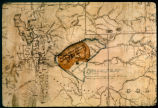
8 Map of Uintah Valley Reserve, formed by order of President Abraham Lincoln, 1861.Image/StillImage
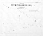
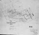
9 Map of the Southern Part of the Former Uintah Indian Reservation Showing the Irrigation System of Indian AllotmentsImage/StillImage
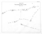
10 Map of the Northern Part of the Former Uintah Indian Reservation Showing the Irrigation SystemImage/StillImage
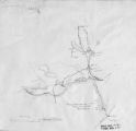
11 Sketch of Uintah Ouray Agencies.Image/StillImage
12 Uintah Indian Reservation Boundaries; Sheet Number 1Image/StillImage
13 Uintah Indian Reservation Boundaries; Sheet Number 3Image/StillImage
14 Uintah Indian Reservation Boundaries; Sheet Number 5Image/StillImage
15 Map of Indian Reservation. 1884Image/StillImage
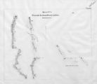
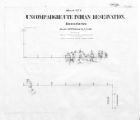
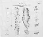
16 Map of Uncompahgre Ute Indian Reservation Boundaries, Sheet Number 1, 1889Image/StillImage
17 Map of Uncompahgre Ute Indian Reservation Boundaries, Sheet Number 3, 1889Image/StillImage
18 Map of Uncompahgre Ute Indian Reservation Boundaries, Sheet Number 4, 1889Image/StillImage
19 Map of Uncompahgre Ute Indian Reservation Boundaries, Sheet Number 6, 1889Image/StillImage
20 Map of Uncompahgre Ute Indian Reservation Boundaries, Sheet Number 8, 1889Image/StillImage
21 Uinta Indian Reservation Utah, under act of March 3, 1905 and President's Proclamation dated July 14, 1905Image/StillImage
22 Uintah Indian Reservation Boundaries Sheet Number 4Image/StillImage
23 Uintah Indian Reservation Boundaries; Sheet Number 2Image/StillImage
24 Map of Uncompahgre Ute reservation, Includes parcel divisionsImage/StillImage
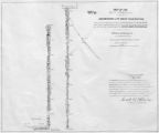
25 Map of Part of the West Boundary of the Uncompahgre Ute Indian Reservation as Surveyed by William B. DougallImage/StillImage
1 - 25 of 73