Home
Browse
Ask Us
Chat
Harmful Language Statement
Log in
Photo Archives
Advanced Search
About
Over 70,000 photos covering a variety of topics from Marriott Library Special Collections
Year
1943
1944
1945
TO
1943
1944
1945
Type
Image
18
Format
application/pdf
17
image/jpeg
1
Collection
Photo Archives
18
Filters:
Collection Name:
"Herbert E. Gregory"
Date:
"1945"
1
-
25
of
18
Gallery view
Number of results to display per page
10
25
50
100
200
Sort by Relevance
Sort by Title A-Z
Sort by Title Z-A
Sort by Date Ascending
Sort by Date Descending
Sort by Last Modified Ascending
Sort by Last Modified Descending
Title
Date
Type
1
East side of Lone Rock on Wah Weap Creek
1943; 1944; 1945
Image
2
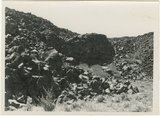
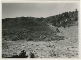
End of lava flow 6 miles long in Black Creek Valley
1943; 1944; 1945
Image
3
Features of the East Kaibab monocline [and] Structural relations of rocks along Utah-Arizona boundary
1943; 1944; 1945
Image
4
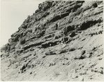
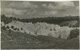
Hillside of eroded rock, Paria Valley, Utah
1943; 1944; 1945
Image
5
Lava, Black Rock Valley
1943; 1944; 1945
Image
6
Mound of sedimentary material, vicinity of Paria River, Utah
1943; 1944; 1945
Image
7
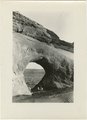
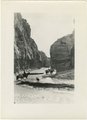
Paria Canyon, Utah
1943; 1944; 1945
Image
8
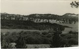
Paria Valley and east flank of East Kaibab monocline
1943; 1944; 1945
Image
9
Plano geografico de la tierra descubierta y demarcada por Dn. Bernardo de Miera y Paceco al Yumbo del noroeste y oest del Nuevo Mexico, quien fue en compania de los R.R.s P.Ps. Fs. Fran.co Atanacio Dominguez... y Fr. Silvestre Velez de Escalante
1943; 1944; 1945
Image
10
Road and lava field, Rock Creek Valley, Utah
1943; 1944; 1945
Image
11
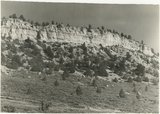
Rocky cliff near Hillsdale
1943; 1944; 1945
Image
12
Sandstone outcrops, Paria Canyon, Utah
1943; 1944; 1945
Image
13
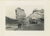
Upper Box in Paria Canyon just south of Cannonville
1943; 1944; 1945
Image
14
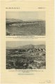
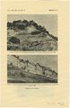
Views along Vermilion Cliffs [and] Permian and Triassic rocks at the mouth of Limestone Gulch
1943; 1944; 1945
Image
15
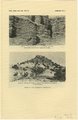
Views of the Moenkopi Formation [and] Triassic rocks
1943; 1944; 1945
Image
16
White cliffs along highway south of Asay Creek, Brian Head formation
1943; 1944; 1945
Image
17
White rocks on road to Panquitch, Utah
1943; 1944; 1945
Image
18
Wingate Sandstone [and] Features of Jurassic and recent formation
1943; 1944; 1945
Image
1
-
25
of
18