Filters: Date: "1979" Collection: "ucl_maps"
1 - 25 of 12
| Title | Date | Type | ||
|---|---|---|---|---|
| 1 |
 |
Ashley Valley | 1977; 1978; 1979 | Image/StillImage |
| 2 |
 |
Book Cliffs US DOI BLM 1979 | 1979 | Image/StillImage |
| 3 |
 |
Canyon of Lodore, Colorado 1979 | 1979 | Image/StillImage |
| 4 |
 |
Central Business District Vernal, Utah - 1970s | 1970; 1971; 1972; 1973; 1974; 1975; 1976; 1977; 1978; 1979 | Image/StillImage |
| 5 |
 |
Craig, Colorado 1979 | 1979 | Image/StillImage |
| 6 |
 |
Geological Map DNM Quarry | 1979 | Image/StillImage |
| 7 |
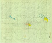 |
Gilsonite Properties - Bonanza Area 1979 | 1979 | Image/StillImage |
| 8 |
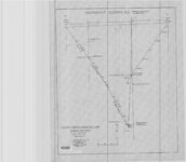 |
Independent Gilsonite Vein 1978-1979 - Engineering Cross Profile Northwest of West Boundary of Ziegler Property | 1979 | Image/StillImage |
| 9 |
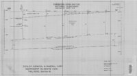 |
Independent Gilsonite Vein 1978-1979 - Engineering Cross Section Northwest to Southeast Independent North Vein | 1979 | Image/StillImage |
| 10 |
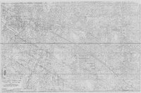 |
Rainbow Area Topographic Map Showing Gilsonite Veins, Leases & Claims - Ziegler Chemical & Mineral Corp | 1979; 1996 | Image/StillImage |
| 11 |
 |
Rangely, Colorado 1979 | 1979; 1987 | Image/StillImage |
| 12 |
 |
Uintah County R.S. 2477 Road Map | 1880; 1881; 1882; 1883; 1884; 1885; 1886; 1887; 1888; 1889; 1890; 1891; 1892; 1893; 1894; 1895; 1896; 1897; 1898; 1899; 1900; 1901; 1902; 1903; 1904; 1905; 1906; 1907; 1908; 1909; 1910; 1911; 1912; 1913; 1914; 1915; 1916; 1917; 1918; 1919; 1920; 1921; 1922; 1923; 1924; 1925; 1926; 1927; 1928; 1929; ... | Image/StillImage |
1 - 25 of 12
