TO
Filters: Subject: "Maps"
| Title | Date | Type | Setname | ||
|---|---|---|---|---|---|
| 101 |
 |
Colorado River -- Excursions p.14 | 1935; 1936; 1937; 1938; 1939; 1940; 1941; 1942; 1943; 1944; 1945 | Image/StillImage | dha_cp |
| 102 |
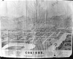 |
Corinne, Utah P.1 | Image | dha_cp | |
| 103 |
 |
Cottonwood Mining District P.1 | Image | dha_cp | |
| 104 |
 |
David Stanley Westminster College faculty member's papers | 1991; 1992; 1993; 1994; 1995; 1996; 1997; 1998; 1999; 2000; 2001; 2002; 2003; 2004; 2005; 2006; 2007; 2008 | wc_ead | |
| 105 |
 |
Dept. of Int. Indian Irrigation Service, Copy of Blue Print, Blackfoot River & Gray Lake Dev. | 1921-06-18 | Image/StillImage | dha_scnpp |
| 106 |
 |
Dinosaur National Monument | 1958-05-29 | Image | ucl_vep |
| 107 |
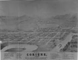 |
Dr.S.H. Goodwin | 1926-08-09 | Image/StillImage | dha_scnpp |
| 108 |
 |
Dry Canyon Ophir Mining District P.1 | Image | dha_cp | |
| 109 |
 |
Dura Europos, general site plan | Image | uu_aah_art | |
| 110 |
 |
Early Roads and Railroads circa 1895 | Image/StillImage | uaida_main | |
| 111 |
 |
Echo Canyon P.1 | Image | dha_cp | |
| 112 |
 |
Echo Canyon P.2 | Image | dha_cp | |
| 113 |
 |
Echo Canyon P.3 | Image | dha_cp | |
| 114 |
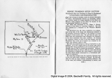 |
El Palacio, volume 30, nos.19-20 (May 20, 1931) [02]: Map, Nine Mile Canyon | 1931-05-20 | Image | dc_bpc |
| 115 |
 |
Emigrant Road from Independence to San Fran. P.1 | Image | dha_cp | |
| 116 |
 |
Escalante Map P.1 | Image | dha_cp | |
| 117 |
 |
Escalante Route Map P.1 | Image | dha_cp | |
| 118 |
 |
Escalante Valley Improvement Company Map | 1915-11-19 | Image | dha_scp |
| 119 |
 |
Escalante, Utah--Map P.1 | Image | dha_cp | |
| 120 |
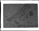 |
F.B. Cook | 1936-05-20 | Image/StillImage | dha_scnpp |
| 121 |
 |
F.J. Salathe Jr., Copy of Section of Map | 1928-09-01 | Image/StillImage | dha_scnpp |
| 122 |
 |
Father Escalante's Map | 1941 | Text | uaida_main |
| 123 |
 |
Field Notes from Survey of Uintah Reservation | 1875-09-25 | Text | uaida_main |
| 124 |
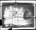 |
Ford Motor CO. | 1925-08-13 | Image/StillImage | dha_scnpp |
| 125 |
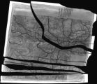 |
Ford Motor CO. | 1925-08-13 | Image/StillImage | dha_scnpp |
