| Title |
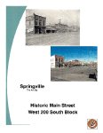
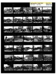
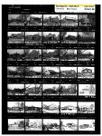
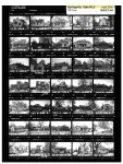
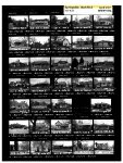
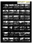
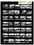
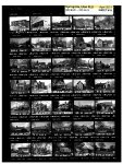
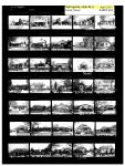
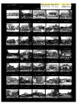
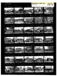
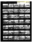
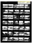
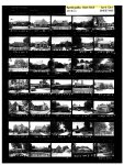
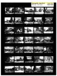
SPRINGVILLE RLS (Plat A and South Main)--2001 |
| Grouping |
465 |
| State |
Utah |
| County |
Utah County |
| City |
Springville |
| Scanning Institution |
Utah Correctional Institute |
| Collection |
Utah Historic Buildings Reports Collection |
| Date |
2001 |
| UTSHPO Collection |
Utah County RLS |
| Spatial Coverage |
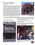
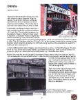
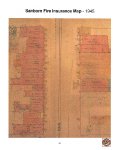
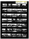
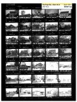
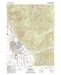
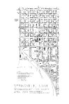
The boundaries of this survey include Plat A and as much of the area immediately south of Plat A. The boundaries include nearly all the properties previously surveyed west of 400 East. Phase I are as follows: beginning at the corner of 400 N and 400 W, running east along 400 N to 400 E; thence south along 400 E to 400 S; thence west along 400 S to 400 W; thence north along 400 W to the beginning. Phase II are as follows: beginning at the corner of 400 W and 400 S; thence east along 400 S to 400 E; thence south along 400 S to Hwy 89; thence northwest along Hwy 89 to 700 S; thence west along 700 S to 400 W; thence north along 400 W to beginning. Also west side of Main St between 200 S and 300 S. |
| Rights Management |
Digital Image © 2025 Utah State Historic Preservation Office. All Rights Reserved. |
| Publisher |
Utah State Historic Preservation Office |
| Genre |
Historic Buildings Reports |
| Type |
Text |
| Format |
application/pdf |
| Date Digital |
2025-06-18 |
| Language |
eng |
| ARK |
ark:/87278/s62k09qj |
| Setname |
dha_uhbrep |
| ID |
2742937 |
| Reference URL |
https://collections.lib.utah.edu/ark:/87278/s62k09qj |