| Title |
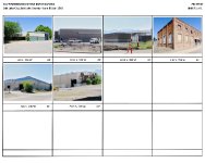
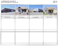
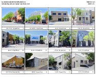
SLC WAREHOUSE DISTRICT EXPANSION RLS |
| Grouping |
134 |
| State |
Utah |
| County |
Salt Lake County |
| City |
Salt Lake City |
| Listed Date |
1982-08-17 |
| Scanning Institution |
Utah Correctional Institute |
| Collection |
Utah Historic Buildings Reports Collection |
| Date |
2015 |
| UTSHPO Collection |
Salt Lake County RLS |
| Spatial Coverage |
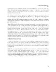
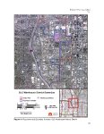
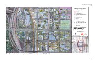
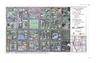
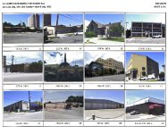
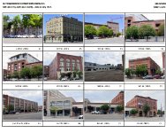
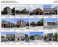
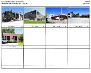
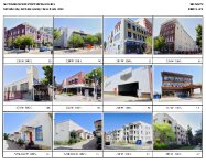
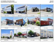
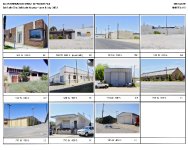
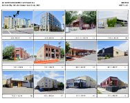
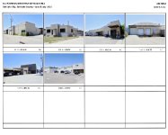
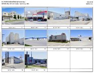
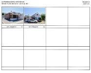
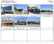
The survey boundaries, which encompass the existing Warehouse Historic District and the surrounding neighborhoods of similar land use and age, are as follows: The centerline of North Temple between the east right-of-way line of I-15 and the centerline of 200 W; The east right-of-way line of I-15 between North Temple and the north right-of-way line of the West Temple off-ramp near 1000 S; The centerline of 300 W between the north right-of-way line of the West Temple off-ramp and the centerline of 600 S; The centerline of 600 S between 300 W and West Temple; The centerline of West Temple between 600 S and 200 S; The centerline of 200 S between West Temple and 200 W; and The centerline of 200 W between 200 S and North Temple. |
| Rights Management |
Digital Image © 2025 Utah State Historic Preservation Office. All Rights Reserved. |
| Publisher |
Utah State Historic Preservation Office |
| Genre |
Historic Buildings Reports |
| Type |
Text |
| Format |
application/pdf |
| Date Digital |
2025-06-11 |
| Language |
eng |
| ARK |
ark:/87278/s60ke4yj |
| Setname |
dha_uhbrep |
| ID |
2730657 |
| Reference URL |
https://collections.lib.utah.edu/ark:/87278/s60ke4yj |