| Title |
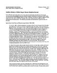
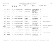
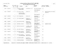
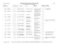
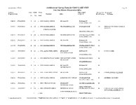
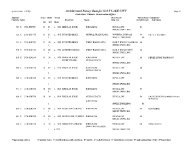
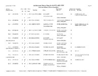
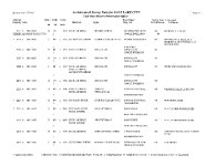
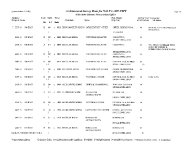
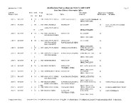
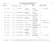
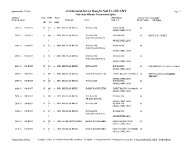
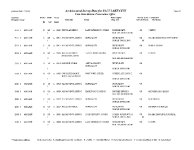
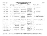
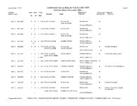
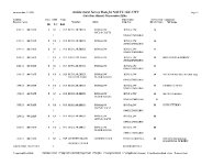
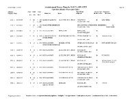
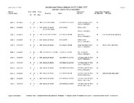
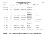
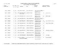
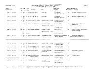
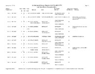
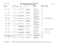
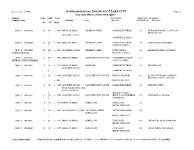
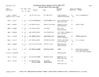
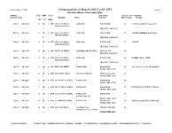
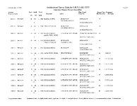
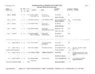
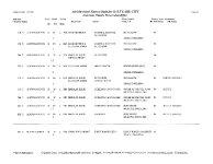
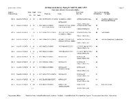
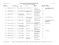
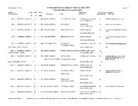
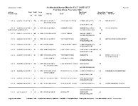
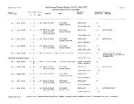
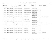
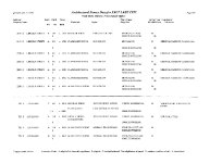
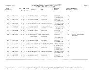
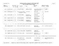
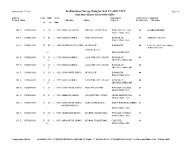
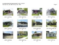
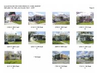
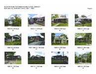
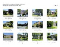
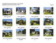
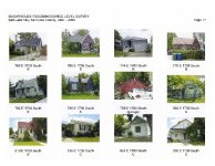
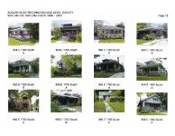
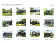
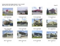
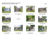
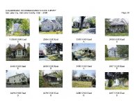
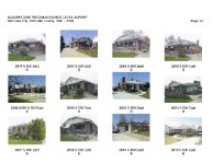
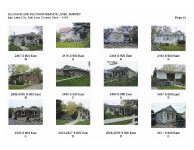
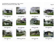
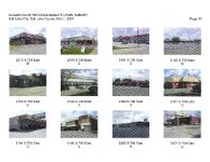
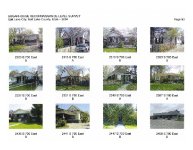
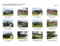
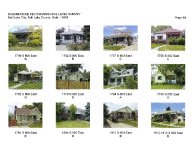
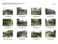
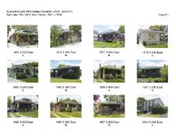
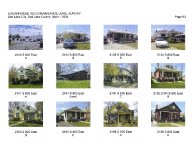
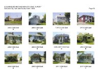
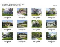
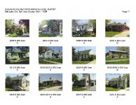
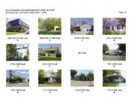
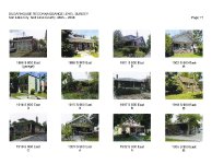
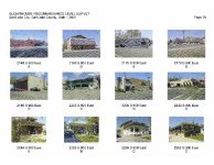
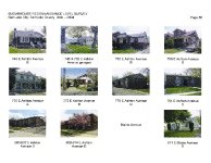
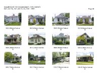
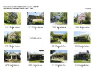
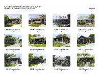
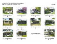
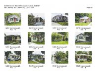
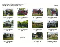
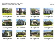
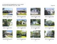
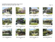
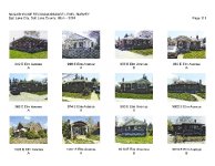
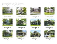
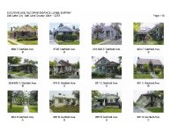
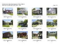
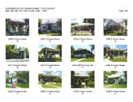
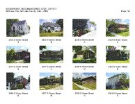
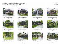
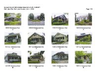
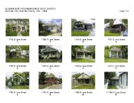
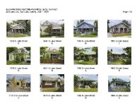
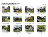
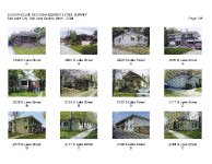
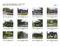
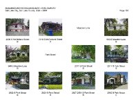
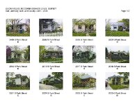
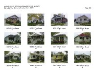
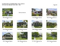
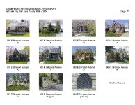
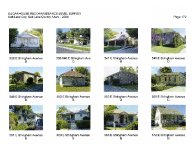
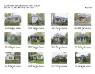
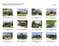
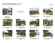
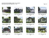
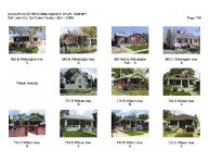
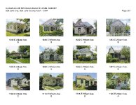
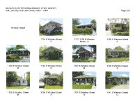
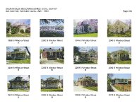
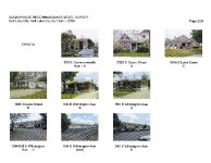
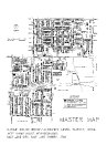
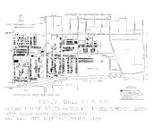
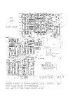
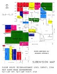
Reconnaissance Level Survey West Sugar House Neighborhoods |
| Grouping |
491 |
| State |
Utah |
| County |
Salt Lake County |
| City |
Salt Lake City |
| Scanning Institution |
Utah Correctional Institute |
| Collection |
Utah Historic Buildings Reports Collection |
| Date |
2004 |
| UTSHPO Collection |
Salt Lake County RLS |
| Spatial Coverage |
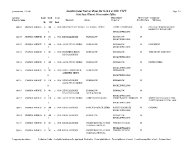
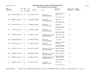
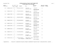
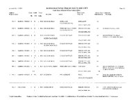
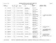
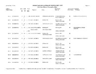
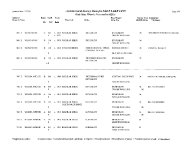
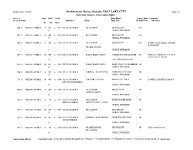
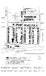
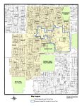
The boundaries of the survey area include primarily residential neighborhoods west, north and south of the Sugar House Business District. Beginning at the northwest corner of the area and moving clockwise, the survey neighborhoods are within the following boundaries: South side of 1700 S between 700 E and 1300 E; West side of 1300 E between 1700 S and the north boundary of the Sugar House Business District; North, south and west boundaries of the Sugar House Business District as a portion of the eastern boundary of the survey area; I-80 between 900 E and 1100 E (survey area includes Fairmont Park and the Forest Dale Golf Course); West side of 900 E between I-80 and 2700 S; North side of 2700 S (includes Nibley Park Golf Course and the southern boundary of the city below 2700 S between 700 E and 800 E); East side of 500 E between 2100 S and 2700 S (includes parcels on west side of 500 E between I-80 and 2700 S within the city boundaries); East side of 700 E between 2100 S and 1700 S. |
| Rights Management |
Digital Image © 2025 Utah State Historic Preservation Office. All Rights Reserved. |
| Publisher |
Utah State Historic Preservation Office |
| Genre |
Historic Buildings Reports |
| Type |
Text |
| Format |
application/pdf |
| Date Digital |
2025-06-11 |
| Language |
eng |
| ARK |
ark:/87278/s6t6heds |
| Setname |
dha_uhbrep |
| ID |
2729951 |
| Reference URL |
https://collections.lib.utah.edu/ark:/87278/s6t6heds |