| Title |
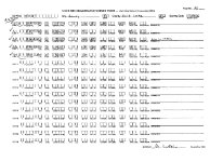
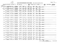
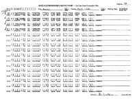
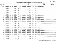
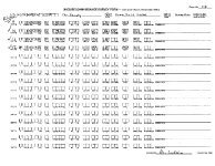
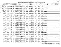
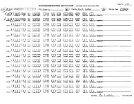
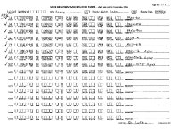
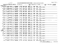
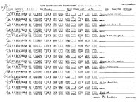
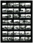
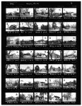
Sandy City Reconnaissance Level Survey Salt Lake County, Utah |
| Grouping |
469 |
| State |
Utah |
| County |
Salt Lake County |
| City |
Sandy |
| Scanning Institution |
Utah Correctional Institute |
| Collection |
Utah Historic Buildings Reports Collection |
| Date |
2002 |
| UTSHPO Collection |
Salt Lake County RLS |
| Spatial Coverage |
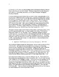
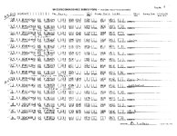
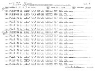
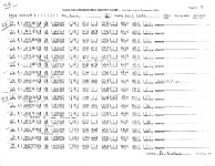
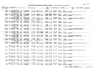
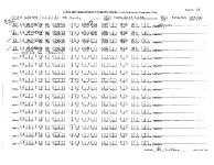
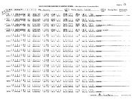
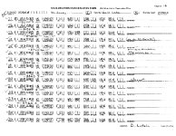
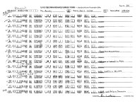
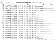
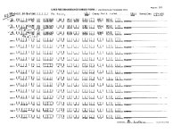
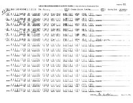
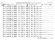
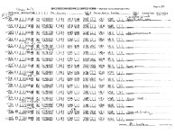
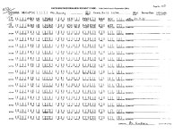
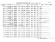
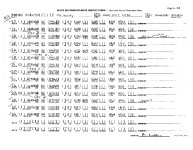
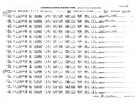
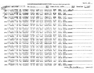
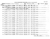
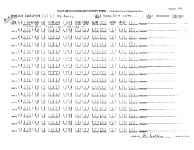
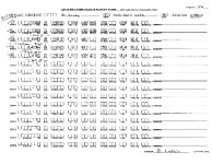
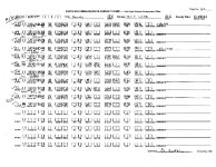
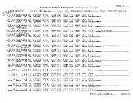
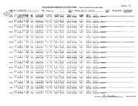
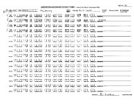
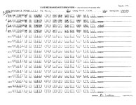
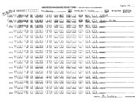
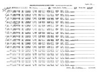
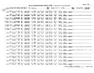
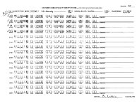
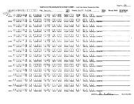
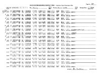
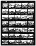
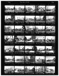
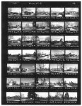
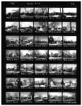
The survey area is the historic core of the city, containing the original Main and Center Streets (now 8720 S and 150 E). It is approximately one square mile and known as Historic Sandy. The survey area is roughly bounded on the west by State St; 9000 S on the south; 700 E on the east; and 8400 S to the north. |
| Rights Management |
Digital Image © 2025 Utah State Historic Preservation Office. All Rights Reserved. |
| Publisher |
Utah State Historic Preservation Office |
| Genre |
Historic Buildings Reports |
| Type |
Text |
| Format |
application/pdf |
| Date Digital |
2025-06-11 |
| Language |
eng |
| ARK |
ark:/87278/s6cwj2j3 |
| Setname |
dha_uhbrep |
| ID |
2728595 |
| Reference URL |
https://collections.lib.utah.edu/ark:/87278/s6cwj2j3 |