| Title |
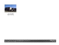
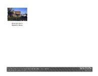
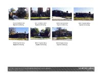
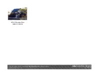
I-15, SB 12300 South To SR-201 |
| Grouping |
178 |
| State |
Utah |
| County |
Salt Lake County |
| City |
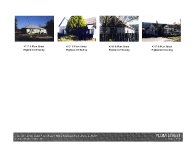
South Salt Lake, Millcreek, Murray, Midvale, Sandy, South Jordan, Draper |
| Scanning Institution |
Utah Correctional Institute |
| Collection |
Utah Historic Buildings Reports Collection |
| Date |
2016 |
| UTSHPO Collection |
Salt Lake County RLS |
| Spatial Coverage |
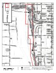
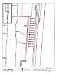
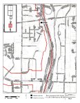
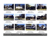
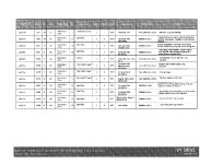
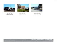
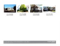
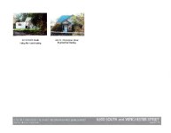
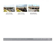
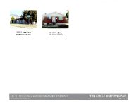
The Survey Boundary coincides with the APE and includes roughly those properties immediately adjacent to I-15 from the south side of 2100 S to the south side of 12300 S. The APE also includes an east-west section (one property deep) of 7200 W from I-15 west to the Jordan River. |
| Rights Management |
Digital Image © 2025 Utah State Historic Preservation Office. All Rights Reserved. |
| Publisher |
Utah State Historic Preservation Office |
| Genre |
Historic Buildings Reports |
| Type |
Text |
| Format |
application/pdf |
| Date Digital |
2025-06-11 |
| Language |
eng |
| ARK |
ark:/87278/s6e1es5w |
| Setname |
dha_uhbrep |
| ID |
2727820 |
| Reference URL |
https://collections.lib.utah.edu/ark:/87278/s6e1es5w |