| Title |
Selective Reconnaissance Level Historic Structures Assessment for the SR-36: 3 O'clock Drive to 2000 North Project, Tooele, Tooele County, Utah |
| Grouping |
597 |
| State |
Utah |
| County |
Tooele County |
| City |
Tooele |
| Scanning Institution |
Utah Correctional Institute |
| Collection |
Utah Historic Buildings Reports Collection |
| Date |
2014 |
| UTSHPO Collection |
Tooele County RLS |
| Spatial Coverage |
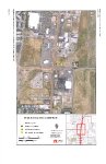
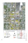
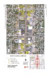
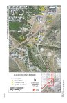
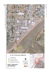
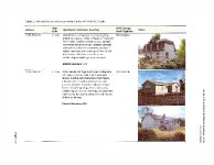
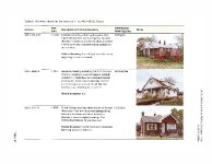
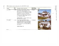
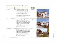
The APE encompassed an area extending 15 meters (50 feet) from the existing edge-of-pavement along SR-36 between the project termini and along all side streets for a short distance. Between approx. 1280 N and 400 S, the APE extended one-half block east and west of SR-36 along each cross street. Elsewhere along the corridor, the APE extended down the cross streets a sufficient distance to contain all anticipated project related activities. The survey area is equal to the APE. The acres surveyed are 51 hectares (127 acres). |
| Rights Management |
Digital Image © 2025 Utah State Historic Preservation Office. All Rights Reserved. |
| Publisher |
Utah State Historic Preservation Office |
| Genre |
Historic Buildings Reports |
| Type |
Text |
| Format |
application/pdf |
| Date Digital |
2025-06-17 |
| Language |
eng |
| ARK |
ark:/87278/s6v6pms8 |
| Setname |
dha_uhbrep |
| ID |
2735203 |
| Reference URL |
https://collections.lib.utah.edu/ark:/87278/s6v6pms8 |