| Title |
Zuni land use maps |
| Description |
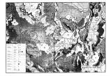
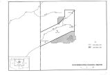
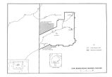
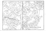
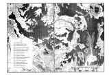
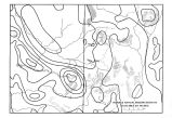
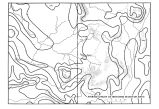
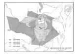
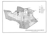
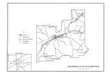
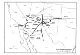
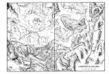
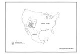
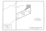
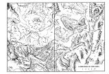
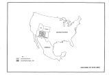
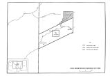
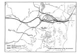
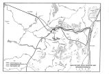
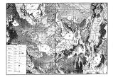
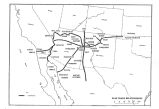
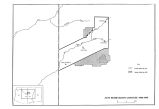
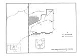
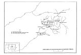
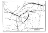
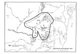
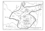
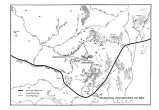
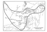
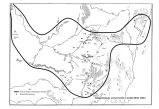
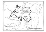
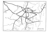
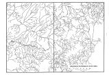
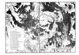
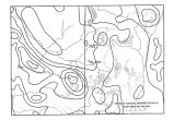
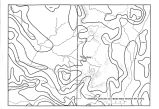
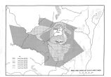
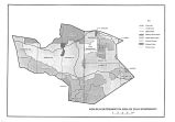
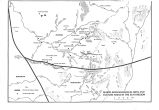
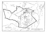
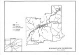
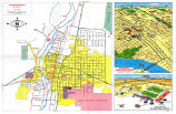
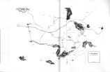
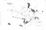
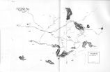
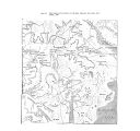
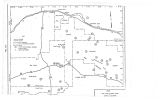
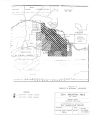
80 pages of maps, 6 pages of tables showing lands used by Zuni Indians in New Mexico and Arizona, detailing geology, reservation changes, drainage patterns, biotic communities, landforms, trade and migratory routes, historical territorial boundaries, lands taken by non-Zunis, religious sites, areas used for hunting, agriculture, grazing, plant and mineral collection; includes maps used in United States Court of Claims case of the Zuni Tribe of New Mexico vs. the United States. |
| Subject |
Zuni Indians--Claims; Zuni Indians--Land tenure; Zuni Indians--Trials, litigation, etc. |
| Additional Information |
IN THE UNITED STATES COURT OF CLAIMS TRIAL DIVISION NO. 161-79L (FILED; MAY 28, 1982 ) THE ZUNI TRIBE OF NEW MEXICO V. THE UNITED STATES |
| Spatial Coverage |
Zuni Indian Reservation (N.M.)--Maps; Catron County (N.M.)--Maps; McKinley County (N.M.)--Maps; Cibola County (N.M.)--Maps; Valencia County (N.M.)--Maps; Apache County (Ariz.)--Maps; Navajo County (Ariz.)--Maps; Cibola National Forest (N.M)--Maps; Zuni (N.M.)--Maps; Zuni Salt Lake (N.M.)--Maps; Pescado (N.M.)--Maps; Zuni River (N.M. and Ariz.)--Maps; Little Colorado River (N.M. and Ariz.)--Maps; Ojo Caliente (N.M.)--Maps; Fort Wingate (N.M.)--Maps; Nutria River (N.M.)--Maps; Albuquerque (N.M.)--Maps |
| Collection Number and Name |
Accn1042 Bx34 Fd3; Stephen G. Boyden Papers |
| Rights Management |
Digital Image © 2010 University of Utah. All Rights Reserved. |
| Holding Institution |
J. Willard Marriott Library, University of Utah |
| Digitization Specifications |
Original scanned on Epson Expression 10000 XL and saved as 400 ppi TIFF. Display image generated in Contentdm. |
| Publisher |
Digitized by J. Willard Marriott Library, University of Utah |
| Type |
Text |
| ARK |
ark:/87278/s69022rr |
| Setname |
wwdl_neh |
| ID |
1154344 |
| Reference URL |
https://collections.lib.utah.edu/ark:/87278/s69022rr |

