| OCR Text |
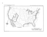
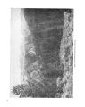
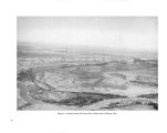
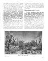
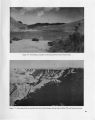
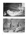
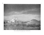
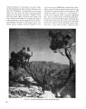
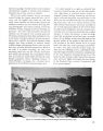
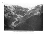
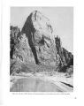
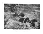
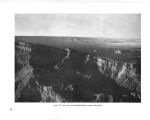
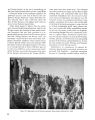
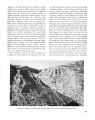
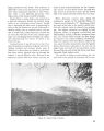
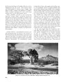
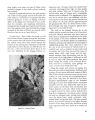
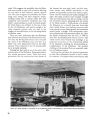
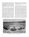
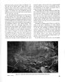
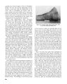
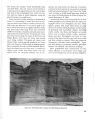
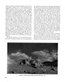
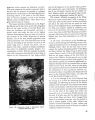
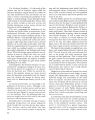
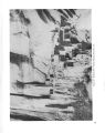
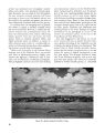
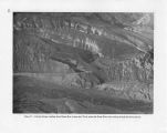
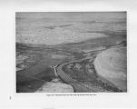
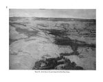
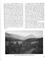
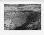
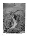
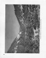
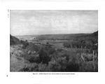
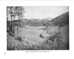
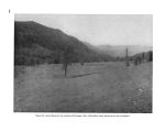
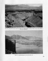
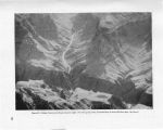
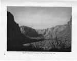
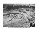
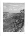
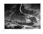
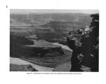
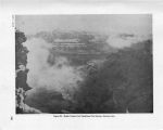
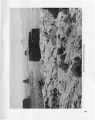
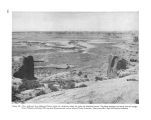
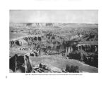
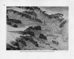
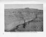
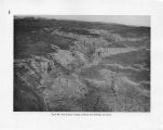
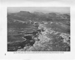
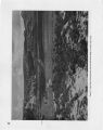
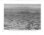
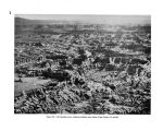
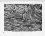
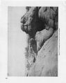
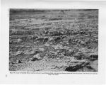
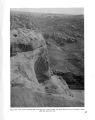
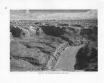
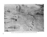
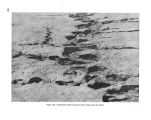
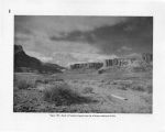
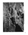
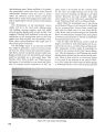
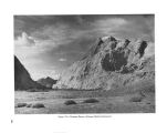
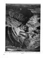
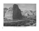
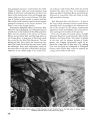
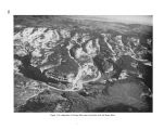
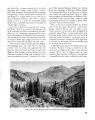
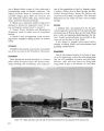
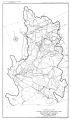
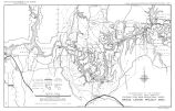
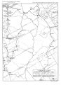
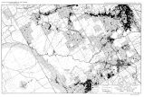
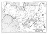
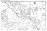
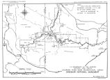
Show Colorado River gravel bars for gold occurred in the vicinity and down river from Dandy Crossing and Hites Ferry. Present access to Hite is by pioneer road down North Wash through impressive red sandstone cliffs and monuments to the Colorado, then for 6 miles along the narrow sandstone ledge on the west side of the river to Hite. Here one finds in a severe, rugged country the Chaffins living in a place of beauty and tranquility. Above the Orange Cliffs to the northwest the high and formidable Henry Mountains dominate the scene. Glen Canyon Reservoir will inundate the area, but there is a proposal to preserve this natural Colorado River scene of Mormon pioneering as a scenic and historic area. The Utah State Highway Commission and the Public Roads Administration have proposed a road joining Capitol Reef and Natural Bridges National Monuments, Arch Canyon and Blanding, and crossing the Colorado River by suspension bridge near the mouth of the Dirty Devil River. This crossing is 7 miles above Hite and 112 miles from Moab Bridge. It is 174 miles above Navajo Bridge at Marble Gorge. This will be the only through road in the 20,000 square miles of Utah's Canyon Lands. Hole in Rock area.- From the little town of Es- calante, Utah, the Straight Cliffs of the Kaiparowits Plateau point the way and Navajo Mountain marks the center of interest in the Glen Canyon section of the Colorado River country. Here is scenery, bold, stark, gigantic. Natural bridges, 300 feet high, are lost in the canyons. Great domes of sandstone around Navajo Mountain appear as a downy cushion base for the mountain. The views from the plateau and from Navajo Mountain are breathtaking. Navajo Point at the southeast end of Kaiparowits Plateau, elevation 7,500, is 5 miles horizontally from the Colorado River and 4,000 feet above it. The crest of Navajo Mountain, 8 miles east of the Colorado, is 7,015 feet above the river. A few miles to the southwest is the Crossing of the Fathers where Escalante made his arduous crossing in 1776. It is one of the few Indian crossings and the first crossing used by the Mormon missionary, Jacob Hamblin, on his early trips to the Zuni Pueblos. A few miles to the north is Hole in Rock where the Mormon settlers bound for the San Juan Valley made their heroic crossing of the 1,400- foot- deep canyon of the Colorado in the winter of 1890, a crossing so difficult it was only used once and abandoned for the easier Dandy Crossing at Hite. It is a land of natural bridges. Rainbow Bridge, the largest and most beautiful, and three others are found in the canyons around the base of Navajo Mountain. At least six fine bridges are known to exist in the twisting half- domed tributary canyons of the Escalante River. Two in Coyote Canyon, one in Willow Creek, and one in Davis Canyon have been visited by members of the survey staff. Another said to be about as large as Rainbow Bridge, was seen by the Nevills Expedition in 1940 and named by them " Gregory," in honor of Dr. Herbert Gregory, a noted American geologist. Music Temple, famous resting point for all river expeditions since Powell's first party stopped there in 1869 for a night of singing and carved their names on the wall, is on the left side of the river between the mouth of the San Juan and Arch Canyon. North of the Escalante River Canyon is the Waterpocket Fold. There are two unimproved roads leading to this section. From the Navajo country to the south and east there is a road to Rainbow Lodge located on the south slope of Navajo Mountain. From the lodge an 18- mile trail leads to Rainbow Bridge. From State Highway 23, the unusually scenic road between the towns of Escalante and Boulder, an automobile trail runs southeast along the base of the Straight Cliffs for 51.3 miles to Sody Tank, 6 miles west of Hole in Rock. There is a horse trail from Sody Tank up the face of the Straight Cliffs to the top of the Kaiparowits and to Hole in Rock. Wahweap area.- The old trail from Kanab to the Crossing of the Fathers crosses Wahweap Creek and Warm Creek almost on the Utah- Arizona State line and then swings northeast across Cottonwood Canyon to the crossing at Kane Creek. In this highly colored desert section of buttes, mesas, and canyons would be the only wide water of the lake formed by the potential Glen Canyon Dam. At spillway level, 3,528 feet, the lake would extend 7 miles up Wahweap Creek, spreading out north of the State line to form a body of water about a mile wide and 2 miles long. Two miles northeast of Wahweap Bay would be Warm Creek Bay 4 173 |