| OCR Text |
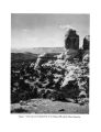
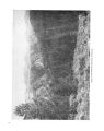
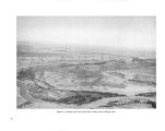
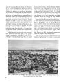
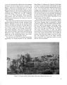
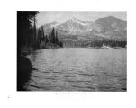
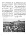
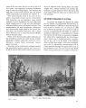
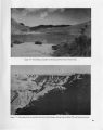
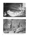
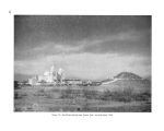
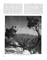
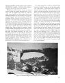
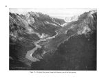
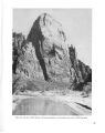
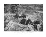
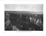
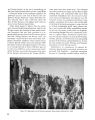
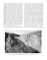
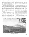
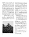
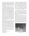
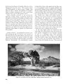
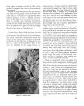
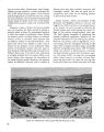
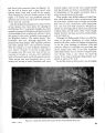
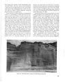
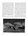
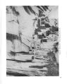
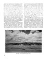
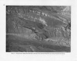
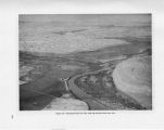
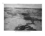
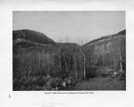
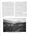
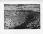
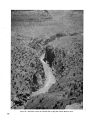
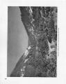
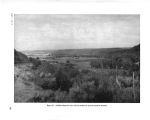
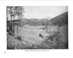
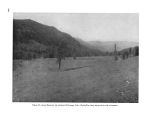
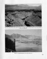
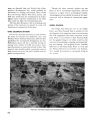
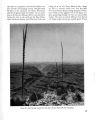
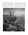
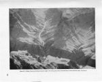
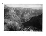
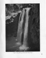
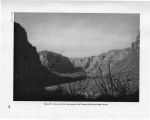
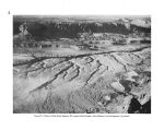
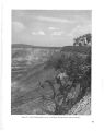
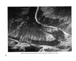
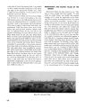
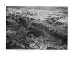
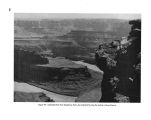
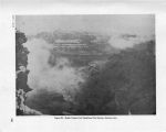
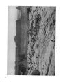
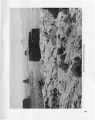
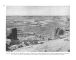
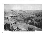
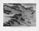
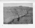
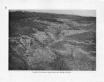
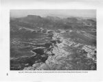
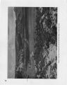
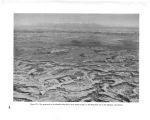
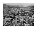
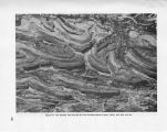
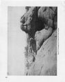
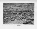
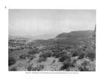
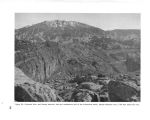
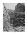
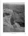
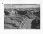
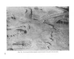
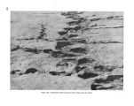
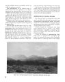
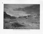
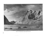
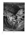
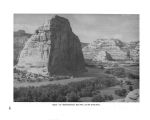
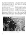
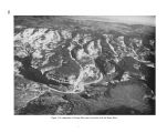
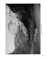
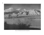
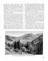
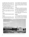
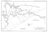
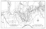
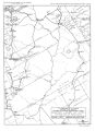
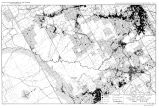
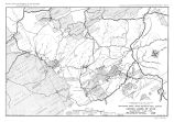
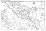
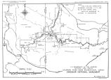
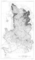
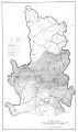
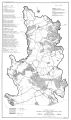
Show Development areas.-- 1. Bridge Canyon section. With the construction of Bridge Canyon Dam and a highway from United States Highway 66 to the dam, the Bridge Canyon area would become one of the major recreational centers of the region. On the basis of traffic counts on United States Highway 66 and the attendance at Hoover Dam and the south rim of the Grand Canyon in Grand Canyon National Park, it is estimated that there may be approximately 365,000 visitors annually to the Bridge Canyon area. These people would desire overlook or observation points from which they could see the dam and the canyon, a lodge and cabins, trailer space and tent camps, parking areas, sanitary facilities, docks and boats for sightseeing trips on the reservoir, a landing field for both private and commercial planes, and concession and information buildings. The spectacular canyon scenery, plus the attraction of the lake, may hold people here for extended visits. Foot and horse trails through Hindu Canyon to Meriwitica and Spencer Canyons and to Peach Spring Draw as well as to viewpoints along the rims of the canyons would probably be popular. Horses and guide service could be furnished by the Hualpai Indians. The route selected by the Bureau of Reclamation for the highway from United States Highway 66 to the dam starts about 3.5 miles west of Peach Springs, Ariz., and runs generally north to Hindu Canyon. From the north side of Hindu Canyon a 4,000- foot tunnel would carry the road down through the divide between Hindu and Bridge Canyons. From the lower end of the tunnel the route continues down the west side of Bridge Canyon to the narrow bench above the inner gorge of the river and then winds along the bench to the dam site which is about 2.25 miles downstream from the mouth of Bridge Canyon. There would be a road across the dam to a parking area on the north side of the river. This road down into Grand Canyon would be one of the dramatic features of the area. Turn- out parking areas should be provided wherever possible so that people may stop and enjoy the views. The turn- outs also would be useful for the heavy traffic of the construction period. From near the upper end of the tunnel in Hindu Canyon a branch road would run west and north to the rim of the Grand Canyon directly above the dam where there is a quarry site for the crushed aggregate to be used in the construction of the dam. The construction camp site is located along this road on the high land between Bridge Canyon and Spencer Canyon. Because of the difficulties of constructing roads to the rim of the Grand Canyon and of getting water to the rim, it is recommended that the lodge, cabins, and other recreational facilities be located on the rim southeast of the quarry site. In that location the road to the quarry and the water system serving the construction camp could also serve the recreational area. The recreational facilities should be constructed during the early stages of the project, so that they could be used both during and after the construction of the dam. At a suitable point above the dam, provision should be made for a boat dock from which concessioners could operate sightseeing boat trips on the reservoir. Such trips would be popular because of the unusually spectacular canyon scenery. 2. Peach Springs Draw- Diamond Creek Area. At the present time Peach Springs Draw is the only place where it is possible to drive an automobile to the bottom of Grand Canyon. It would be a comparatively simple matter to construct a road down this draw from United States Highway 66 to the shore of the Bridge Canyon Reservoir where limited development of boat landings, parking areas, and other facilities for the recreational use of the reservoir could be provided. If this road were built, the Peach Spring- Diamond Creek arm of the reservoir would be the major center for boating activities on the reservoir. The precipitous banks of the reservoir in the vicinity of the dam would limit boating operations in that location. It would be possible to continue the road along the shore of the reservoir to a bench in the canyon overlooking Diamond Creek and the Colorado River. This would be an interesting location for a lodge in connection with the harbor development. Peach Spring Draw is dry except after a heavy rain in the immediate vicinity, but Diamond Creek has a continuous flow which could be used as a source of water for the development in this section. 3. Granite Park. This remote section of the Lake Mead Recreational Area and the Hualpai Indian Reservation, now practically unknown, offers canyon scenery of outstanding interest. At the 144 |