| OCR Text |
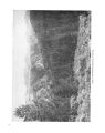
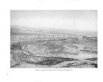
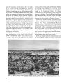
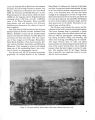
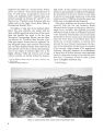
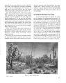
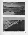
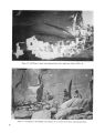
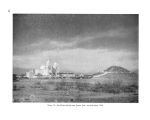
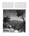
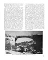
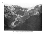
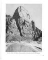
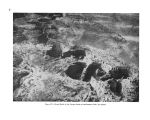
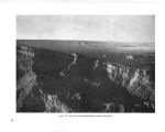
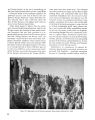
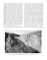
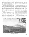
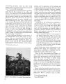
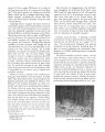
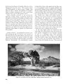
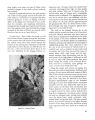
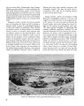
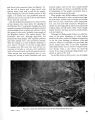
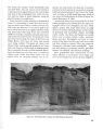
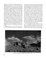
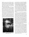
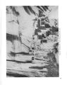
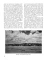
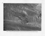
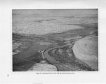
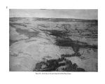
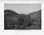
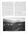
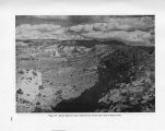
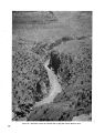
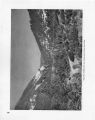
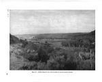
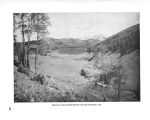
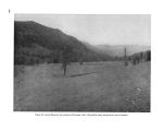
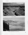
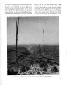
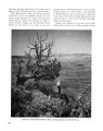
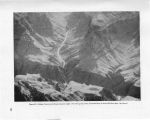
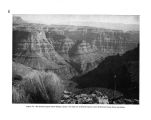
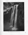
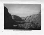
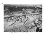
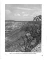
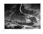
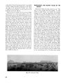
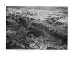
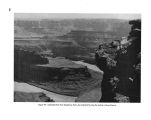
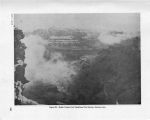
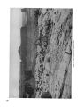
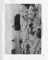
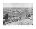
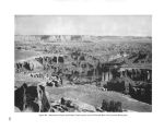
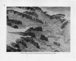
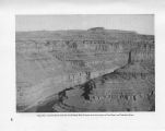
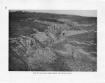
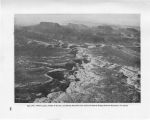
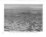
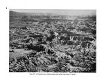
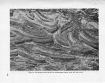
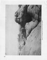
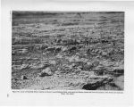
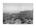
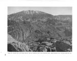
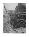
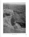
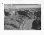
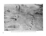
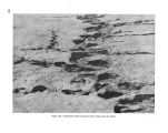
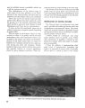
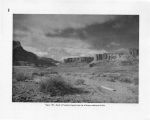
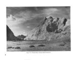
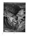
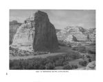
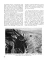
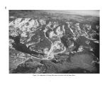
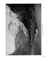
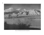
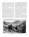
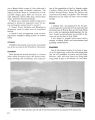
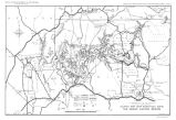
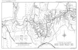
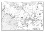
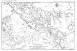
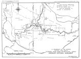
Show teaus are dry and the mountains frozen, the flow would be regulated to meet the demands of the power plants. Between Marble Gorge Dam and Kanab Creek, roughly the area covered by Grand Canyon National Park, the flow would be regulated to a constant 1,000 second feet. With the series of dams proposed, silt and debris now carried by the Colorado River and deposited in Lake Mead would be drastically reduced. Navigation in the canyon section of Lake Mead, practically impossible at the present time because of silt conditions, would be stabilized, making it possible to travel with ordinary types of boats from Pierce Ferry to just below the Bridge Canyon Dam. Bridge Canyon Dam and Reservoir.- The impounding of water behind Bridge Canyon Dam to an elevation of 1,876 feet probably would conceal few geological features that are unique or of special importance as documents of geological history. Any impoundment more than a few feet higher than that elevation, however, would back water beyond the upper reaches of the inner canyon to which it would otherwise largely be confined, and create a conspicuous, insistent intrusion into the broader part of the canyon visible from the rim. There would result an artificial reservoir replacing the natural river in some of the most spectacular and characteristic views of the canyon obtainable. The greatest losses, insofar as geological features are concerned, would be in the area of volcanic activity at and westward from Toroweap Valley. Several features illustrating the early stages of canyon cutting and of local volcanism would be inundated. Also covered would be the remnants of lavas that flowed down the river channel and, in two places, the sediments formed in ancient lakes or reservoirs behind natural lava dams. A detailed report on many of these features was made by Edwin D. McKee and Edward J. Schenk to the Director, National Park Service, in December 1941. The report is entitled " Lava Dams in Grand Canyon." The following statement appears in the report: " The spectacle of lavas that have cascaded down the steep canyon walls, and [ of] cinder cones perched on the sides and brink of the chasm usually makes a profound impression on the layman, while to the geologist the problems presented are intriguing." Toroweap Valley slopes gently toward the canyon rim and ends with a sheer cliff almost 3,000 feet above the river. The views down into the canyon, combined with the roar of the rapids, are spectacular and awe- inspiring. The increased width of the strip of water in the bottom of the canyon through submergence of the talus slopes would decrease the apparent depth and impressiveness of the chasm. Havasu Creek, an unfailing spring- fed stream of crystal clear water, is a distinctive feature of the canyon. The notable and beautiful, though seldom seen, mingling of the blue waters of Havasu Creek with the brown waters of the Colorado would be radically altered for the worse. But the more frequently visited waterfalls and other features that have made Havasu Canyon famous would not be affected by the Bridge Canyon Reservoir. Between Havasu Canyon and Kanab Creek the high, upper rim of the Grand Canyon is characterized by narrow, long projecting points, with deep bays between, and an abrupt descent from its edge to an exceptionally wide " bench" nearly 2,000 feet lower. The general appearance of the bench is extraordinarly flat, although it is dissected by minor canyons and has a number of isolated small buttes rising from it. This wide bench appears to be nearly bare of vegetation, has a peculiar and distinctive rock texture and color, and extends to a sharply defined edge much closer to the river and more nearly parallel with its course than is the case with this formation in the canyon farther east. The inner gorge lying between the two rims of this bench is correspondingly deeper and more closely shut in, making the river invisible from the upper rim except at a few projecting points, of which the most remarkable is Boysag Point. This point is much closer to the river than any point of the upper rim in Grand Canyon National Park. Views into the inner canyon from places on the inner rim would doubtless be impressive but that rim is at present extraordinarily difficult of access. Only a minute fraction of all the vistiors to Grand Canyon National Park thus far have ever obtained a good view of the depths of the inner gorge between Tapeats Creek and Havasu Creek, and probably most of that relatively small number have seen it only from the mouth of Havasu Creek. These con- 136 |