| OCR Text |
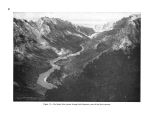
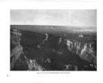
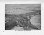
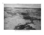
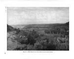
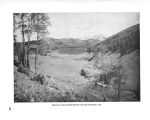
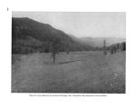
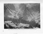
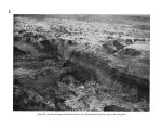
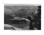
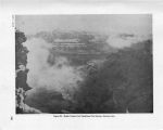
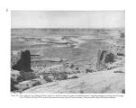
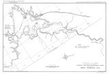
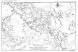
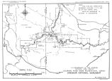
Show Colorado River and the Bluff Dam on the San Juan River 132 miles upstream from its mouth. Both of these dams would serve as flood control and silt detention structures. The Bluff Reservoir also would regulate the flow of the San Juan as required by downstream power plants. These two dams are essential to the life of the Bridge Canyon Reservoir. Marble Gorge Dam and Kanab Tunnel.- Following the Bridge Canyon, Coconino, and Bluff Projects in the Bureau's schedule of development would be the Glen Canyon Dam located 4.5 miles upstream from Lees Ferry. This dam would be for power development and river regulation. This project is discussed in Chapter VIII- Canyon Lands of Southeastern Utah. In the 150 miles between the Glen Canyon Dam site and the estimated headwaters of the potential Bridge Canyon Reservoir at normal water surface elevation, the Colorado River falls approximately 1,260 feet. About 100 miles and 950 feet of the drop are within the boundaries of Grand Canyon National Park. To take advantage of this drop and yet avoid the construction of dams or other works in the park, the Bureau of Reclamation suggests a plan for diverting the Colorado River waters " not needed to maintain a steady stream for scenic purposes in the park" through a 44.8 mile tunnel from just above the east end of the park to a power plant on the Colorado River near the mouth of Kanab Creek. The capacity of the Kanab Tunnel would be 13,000 second feet. A 298- foot dam at the Marble Gorge site 15.5 miles upstream from Nankoweap Canyon would divert water to the tunnel. Water released from the dam for scenic purposes in the park would pass through a power plant. The maximum and normal water surface elevation of the Marble Gorge Reservoir would be 3,125 feet, the elevation of the Colorado River at the Glen Canyon Dam site, and the minimum water surface would be 3,115 feet above sea level. Proposed operation of reservoirs.- According to present studies of the Bureau of Reclamation for reservoir operation in connection with the Parker diversion route of the proposed Central Arizona Project, Bluff and Coconino Reservoirs would be for the purpose of silt control. Glen Canyon and Marble Gorge would be futuxe developments for river regulation, silt control, and power. Generally, the Marble Gorge Reservoir would be maintained at maximum content. However, during a critical year of operation the active content of Marble Gorge Reservoir would be withdrawn prior to utilizing the active content of Bridge Canyon Reservoir. Such withdrawal would be made only after the active storage contents of Bluff and Glen Canyon Reservoirs had been exhausted. Release through the Marble Gorge Power Plant would be at a uniform rate of approximately 1,000 second feet. Operation of the Kanab Power Plant would be closely coordinated with the operation of the Glen Canyon Power Plant. Normally, after full river regulation is provided by upstream storage, Bridge Canyon Reservoir would be operated at maximum content with release of water for power corresponding to releases from Glen Canyon. With this method of operation, the water surface elevation of Bridge Canyon Reservoir would normally be between 1,866 and 1,876 feet. Only in an extremely dry period would it be drawn down to a minimum elevation of 1,645 feet. The Marble Gorge Reservoir would have a maximum fluctuation of 10 feet between elevations 3,125 and 3,115. EFFECT OF PROPOSED PROJECTS ON THE GRAND CANYON The projects proposed for the control and use of the Colorado River would completely change the natural conditions and character of the river through the Grand Canyon. In place of a thundering, heavily silt- laden river, it would be harnessed by dams into a series of quiet mill - ponds, except through Grand Canyon National Park where it would be diverted under the plateau through which it has for millions of years been grinding its own way. The silt and debris would be dropped behind upstream dams. The river through the Grand Canyon without its grinding agents would no longer be the Colorado known to thousands of visitors who go to the bottom of the canyon each season. It would be a clear stream. In place of great fluctuations in volume of flow between the spring months when the snow is melting on the Rockies, the Uintas, and the White Mountains and the winter months when the pla- 133 |


