151 - 175 of 3,384
Number of results to display per page
TitleDateType
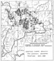
151 Boundary of Shoshone Indian Territory, showing the locations where the Bannock and Shoshone reported together 1819-19561957Image/StillImage
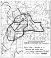
152 Boundary of Shoshone Indian Territory; Doty Map of 1863 Indian Claims Commission1957Image/StillImage
153 Goshute Traditional TerritoryImage/StillImage
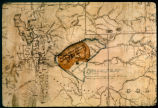
154 Map of Indian Reservation. 1884Image/StillImage
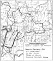
155 Map of Shoshone Indian Territory, and the Division of Shoshone Boundaries in NevadaImage/StillImage
156 Map of Uintah Valley Reserve, formed by order of President Abraham Lincoln, 1861.Image/StillImage
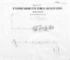
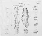
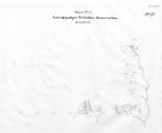
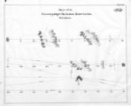
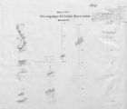
157 Map of Uncompahgre Ute Indian Reservation Boundaries, Sheet Number 1, 1889Image/StillImage
158 Map of Uncompahgre Ute Indian Reservation Boundaries, Sheet Number 3, 1889Image/StillImage
159 Map of Uncompahgre Ute Indian Reservation Boundaries, Sheet Number 4, 1889Image/StillImage
160 Map of Uncompahgre Ute Indian Reservation Boundaries, Sheet Number 6, 1889Image/StillImage
161 Map of Uncompahgre Ute Indian Reservation Boundaries, Sheet Number 8, 1889Image/StillImage
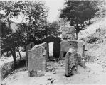
162 Ruins of Ouray's house [P0462n01_11_17.tif]Image/StillImage
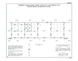
163 Township 13th South, Range 19th West, Salt Lake Meridian_002Image/StillImage
164 Township 9th South, Range 19th West, Salt Lake Meridian_002Image/StillImage
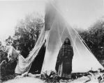
165 Woman and tepee [P0462n01_11_13.tif]Image/StillImage
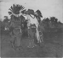
166 "Sioux" dance, White Rocks, Summer '09Image/StillImage
167 Camp under the arch of the Caroline Natural Bridge, White Canyon UtahImage/StillImage
168 French WritingImage/StillImage
169 Jim Duncan, White Rocks, Summer '09Image/StillImage
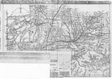
170 Map of East Central Utah, Uintah Ouray Reservation, Utah ValleyImage/StillImage
171 Map of Southern Colorado and the Ute Mountain Ute ReservationImage/StillImage
172 Map of Ute Territory by BandImage/StillImage
173 Map of Ute Territory in Utah and Colorado by Band Name and LocationImage/StillImage
174 Members of the Bluff City ClubImage/StillImage
175 Navajo sand paintingImage/StillImage
151 - 175 of 3,384