51 - 75 of 3,210
Number of results to display per page
TitleDateType
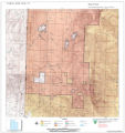
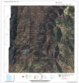
51 Surface Management Responsibility_001Image/StillImage
52 Surface Management Responsibility_002Image/StillImage
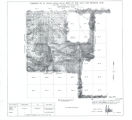
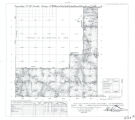
53 Township 12th South, Range 19th West, Salt Lake Meridian_001Image/StillImage
54 Township 12th South, Range 19th West, Salt Lake Meridian_002Image/StillImage
55 Township 12th South, Range 19th West, Salt Lake Meridian_003Image/StillImage
56 Township 12th South, Range 19th West, Salt Lake Meridian_004Image/StillImage
57 Township 13th South, Range 19th West, Salt Lake Meridian_001Image/StillImage
58 Township 13th South, Range 19th West, Salt Lake Meridian_003Image/StillImage
59 Township 9th South, Range 19th West, Salt Lake Meridian_001Image/StillImage
60 Township 9th South, Range 19th West, Salt Lake Meridian_003Image/StillImage
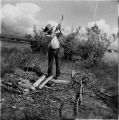
61 Bert chopping wood at campImage/StillImage
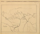
62 Map of Uintah Basin and Fort DuchesneImage/StillImage
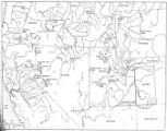
63 Map of Chief Washakie's Hunting and Fighting Territory, prepare by Oscar Mosserly, 1930Image/StillImage
64 Map of Indian Territory in the Western United StatesImage/StillImage
65 Map of Indian Tribes of North AmericaImage/StillImage
66 Map of North America and Original Inhabitants' Territory.Image/StillImage
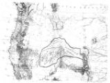
67 Map of the Homelands of Northern Shoshone, 1863Image/StillImage
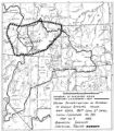
68 Map of the original range of the Bannock Indians according to Bureau of Indian Affairs, 1952.Image/StillImage
69 Map of the Shoshone TribesImage/StillImage
70 Navaho Indians around a council fire, trying to hide their faces from the photographer. Bluff, UtahImage/StillImage
71 Navajo babyImage/StillImage
72 Navajo Book 1b: Photo Description1892; 1893Image/StillImage
73 Double photograph, John P. Lower, Denver, Colo.Image/StillImage
74 Group of Uintah Utes, White Rocks, Summer '09Image/StillImage
75 Jim Duncan, White Rocks, Summer '09Image/StillImage
51 - 75 of 3,210