226 - 250 of 3,384
Number of results to display per page
TitleDateType
226 Boundary of Shoshone Indian Territory, showing the locations of the Bannock1957Image/StillImage
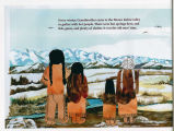
227 Coyote [Page 1]2005Image/StillImage
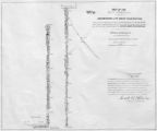
228 Map of Part of the West Boundary of the Uncompahgre Ute Indian Reservation as Surveyed by William B. DougallImage/StillImage
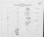
229 Map of Uncompahgre Ute Indian Reservation Boundaries, Sheet Number 2, 1889Image/StillImage
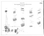
230 Map of Uncompahgre Ute Indian Reservation Boundaries, Sheet Number 7, 1889Image/StillImage
231 Map showing the boundary of the Shoshone Indian territory1941Image/StillImage
232 Utah Laws Against Indian Slavery1928; 1929; 1930; 1931; 1932; 1933Text
233 Ute tribal ceremonial dancerImage/StillImage
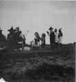
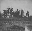
234 "Coyote" dance, White Rocks, Summer '09Image/StillImage
235 "Coyote" dance, White Rocks, Summer '09Image/StillImage
236 16 Room house of the Ancient Cave-Cliff Dwellers Bluff, Utah- Feb 25, 1896 # 54Image/StillImage
237 The boiling pot for feastImage/StillImage
238 Brush shelter, John Duncan's Camp, White Rocks, Summer '09Image/StillImage
239 ChipetaImage/StillImage
240 Hovenweep castleImage/StillImage
241 Map of Stock Mining Claims in the Uintah BasinImage/StillImage
242 Map of the Uintah Basin and the Uintah Ouray ReservationImage/StillImage
243 Map of Uintah Irrigation Project June 1926 Myton, UtahImage/StillImage
244 Navajo man on horse in Monument ValleyImage/StillImage
245 Navajo women herding sheep in Monument ValleyImage/StillImage
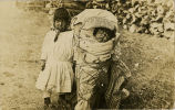
246 Paiute Children [P0591n04_35_01.tif]Image/StillImage
247 Paiute LandscapeImage/StillImage
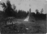
248 Small canvas tepee and brush shelter at Charlie Mack's camp, White Rocks, Summer '09Image/StillImage
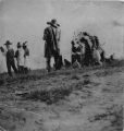
249 Three Utes with hand drums starting "coyote" dance, White Rocks Summer '09Image/StillImage
250 Uncompahgre Ute in pose of playing guessing game; Ouray Summer '091909Image/StillImage
226 - 250 of 3,384